Sites and Monuments Record · Ireland
Ritual site - holy well
Moneygold, County Sligo, Ireland
The record
- Townland
- Moneygold
- County
- Sligo
- Country
- Ireland
- Latest-edition OS map
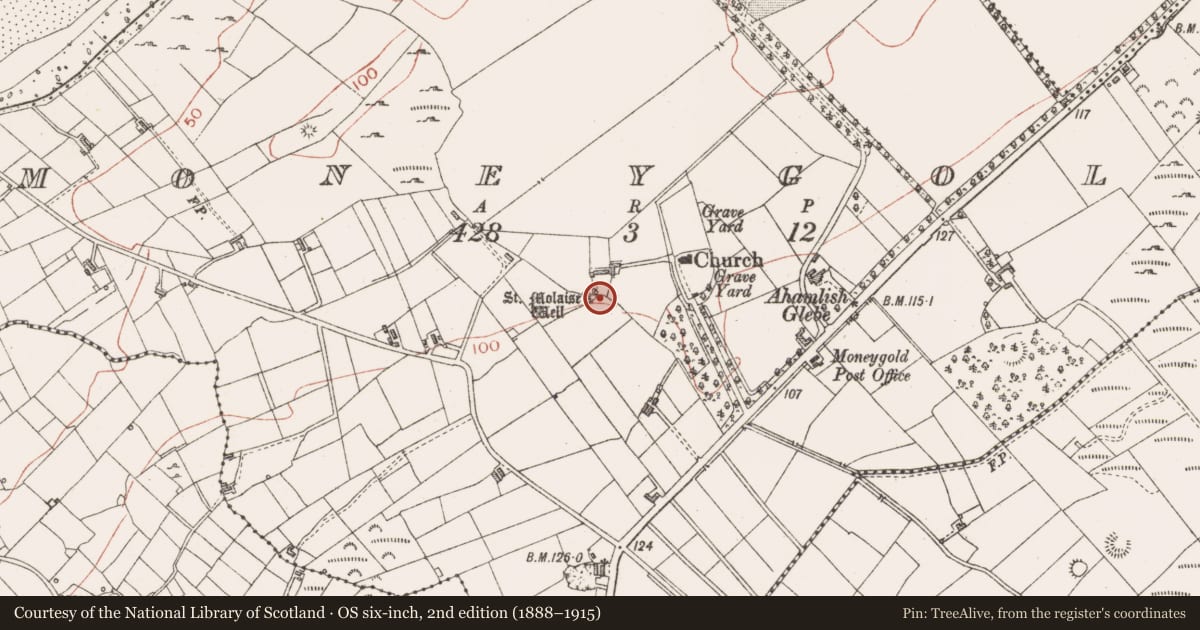
- St. Molaises Holy Well
- Coordinates
- 54.40501, -8.51102
- SMR number
- SL005-004001-
Slide toward Today to fade the historical sheet and see the modern map underneath.
David Rumsey Map Collection, Stanford LibrariesDavid Rumsey Map Collection, Stanford LibrariesDavid Rumsey Map Collection, Stanford LibrariesDavid Rumsey Map Collection, Stanford Libraries
4 historical maps cover this location, the earliest the 1869 map "Ireland." (David Rumsey Map Collection, Stanford Libraries).
Historical maps covering this location
- 1869 · Ireland. (David Rumsey Map Collection, Stanford Libraries)
- 1891 · Ireland 16 (David Rumsey Map Collection, Stanford Libraries)
- 1904 · Sheet 4. (David Rumsey Map Collection, Stanford Libraries)
- 1922 · Ireland - northern section. (David Rumsey Map Collection, Stanford Libraries)
This record in the National Monuments Service's Historic Environment Viewer ↗
The National Monuments Service's description
Located at the base of the N-facing slope of a hill, in the SW corner of a field, with a ruined vernacular cottage 15m to N. This holy well consists of a natural spring contained within a roughly D-shaped cavity (1.4m N–S; 1.4m E–W; D 1m) which is faced with stone. A curving drystone wall defines the E–S side of the well but the N and W walls are straight. The N wall consists of one or possibly two large edge-set slabs. The well is enclosed on all sides by the slumped, grass-covered W-facing slope of a penitential cairn (SL005-004003-). There is a bullaun stone (SL005-004002-) on top of the penitential cairn, a few meters SE of the well. A church and graveyard (SL005-005001-; SL005-005002-) are located c. 100m to ENE. According to local tradition, water from the well was especially valued as a cure for sick cattle.
Attached images:
SL005-004001_01.JPG Location of well in W slope of penitential cairn (SL005-004003-) indicated by ranging rod.
SL005-004001_02.JPG Stone facing of well
Compiled by: Jane O'Shaughnessy
Date of upload: 11 December 2015
Nearby in the register
- Penitential stationunder 1 mi
- Bullaun stoneunder 1 mi
- Souterrainunder 1 mi
- Churchunder 1 mi
Other entries of the same register within about three miles of this one, by straight line.