Sites and Monuments Record · Ireland
Monumental structure
Mote Demesne, County Roscommon, Ireland
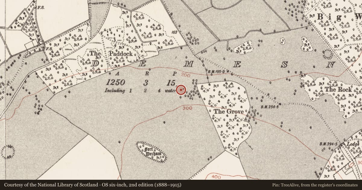
The record
- Townland
- Mote Demesne
- County
- Roscommon
- Country
- Ireland
- First-edition OS map
- Seat
- Latest-edition OS map
- Not indicated
- Coordinates
- 53.59259, -8.15445
- SMR number
- RO042-003----
Slide toward Today to fade the historical sheet and see the modern map underneath.
David Rumsey Map Collection, Stanford LibrariesDavid Rumsey Map Collection, Stanford LibrariesDavid Rumsey Map Collection, Stanford LibrariesDavid Rumsey Map Collection, Stanford Libraries
4 historical maps cover this location, the earliest the 1790 map "Composite: Ireland." (David Rumsey Map Collection, Stanford Libraries).
Historical maps covering this location
- 1790 · Composite: Ireland. (David Rumsey Map Collection, Stanford Libraries)
- 1811 · Ireland. (David Rumsey Map Collection, Stanford Libraries)
- 1869 · Ireland. (David Rumsey Map Collection, Stanford Libraries)
- 1891 · Ireland 16 (David Rumsey Map Collection, Stanford Libraries)
This record in the National Monuments Service's Historic Environment Viewer ↗
The National Monuments Service's description
Marked on the 1837 ed. of the OS 6-inch map where it is described in gothic lettering as 'Seat', and situated on a N-facing slope in the demesne of Moat Park House. It is described locally as a stone (Wth c. 1.2m) set up like an armchair which was removed in land reclamation. A photograph which was probably taken in the 1960s in the Photographic archive of the National Monuments Service shows a two-person garden seat with a spiral, a face and a crest carved on the seat-back.
See the attached image taken c. 1960
Compiled by: Michael Moore
Date of upload: 24 August 2010
Nearby in the register
- Designed landscape featureunder 1 mi
- Ecclesiastical enclosureunder 1 mi
- Churchunder 1 mi
- Headstoneunder 1 mi
Other entries of the same register within about three miles of this one, by straight line.