Sites and Monuments Record · Ireland
House - indeterminate date
Tulsk, County Roscommon, Ireland
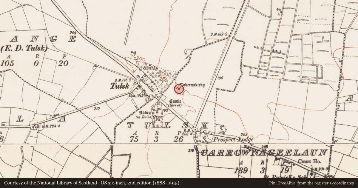
The record
- Townland
- Tulsk
- County
- Roscommon
- Country
- Ireland
- First-edition OS map
- Not indicated
- Latest-edition OS map
- Not indicated
- Coordinates
- 53.77921, -8.25236
- SMR number
- RO022-114012-
Slide toward Today to fade the historical sheet and see the modern map underneath.
David Rumsey Map Collection, Stanford LibrariesDavid Rumsey Map Collection, Stanford LibrariesDavid Rumsey Map Collection, Stanford LibrariesDavid Rumsey Map Collection, Stanford Libraries
4 historical maps cover this location, the earliest the 1790 map "Composite: Ireland." (David Rumsey Map Collection, Stanford Libraries).
Historical maps covering this location
- 1790 · Composite: Ireland. (David Rumsey Map Collection, Stanford Libraries)
- 1811 · Ireland. (David Rumsey Map Collection, Stanford Libraries)
- 1869 · Ireland. (David Rumsey Map Collection, Stanford Libraries)
- 1891 · Ireland 16 (David Rumsey Map Collection, Stanford Libraries)
This record in the National Monuments Service's Historic Environment Viewer ↗
The National Monuments Service's description
On a rise on the SE bank of the SW-NE Ogulla River, at the N edge of the mound of rath (RO022-114006-). A rectangular feature (dims c. 7m E-W; c. 4m N-S) detected by resistivity survey and exposed in excavation (04E0850) as an oval stony feature utilised after the abandonment of the castle (RO022-114011-). It is probably associated with the re-use of the site by Bingham, President of Connaught in the 1590s (Brady 2011, 310). (Brady and Gibson 2005, 65, 66, 73, feature 1)
Compiled by: Michael Moore
Date of upload: 21st June 2011
References
Brady, N. and Gibson, P. 2005 The earthwork at Tulsk, Co. Roscommon: topographical and geophysical survey and preliminary excavation. In Discovery Programme Reports 7: North Roscommon in the later medieval period: an introduction. Dublin. Royal Irish Academy.
Brady, N. 2011 Tulsk: raised ringfort; medieval. In I. Bennett (ed.), Excavations 2009: summary accounts of archaeological excavations in Ireland, 186-8, No. 716. Dublin. Wordwell.
Nearby in the register
- Ringfort - rathunder 1 mi
- Castle - tower houseunder 1 mi
- Wellunder 1 mi
- Road - road/trackwayunder 1 mi
Other entries of the same register within about three miles of this one, by straight line.