Sites and Monuments Record · Ireland
Architectural feature
Castletown And Glinsk, County Offaly, Ireland
The record
- Townland
- Castletown And Glinsk
- County
- Offaly
- Country
- Ireland
- Latest-edition OS map
- Not indicated
- Coordinates
- 53.10237, -7.69746
- SMR number
- OF036-044006-
Slide toward Today to fade the historical sheet and see the modern map underneath.
David Rumsey Map Collection, Stanford LibrariesDavid Rumsey Map Collection, Stanford LibrariesDavid Rumsey Map Collection, Stanford LibrariesDavid Rumsey Map Collection, Stanford Libraries
4 historical maps cover this location, the earliest the 1790 map "Composite: Ireland." (David Rumsey Map Collection, Stanford Libraries).
Historical maps covering this location
- 1790 · Composite: Ireland. (David Rumsey Map Collection, Stanford Libraries)
- 1811 · Ireland. (David Rumsey Map Collection, Stanford Libraries)
- 1869 · Ireland. (David Rumsey Map Collection, Stanford Libraries)
- 1891 · Ireland 16 (David Rumsey Map Collection, Stanford Libraries)
This record in the National Monuments Service's Historic Environment Viewer ↗
The National Monuments Service's description
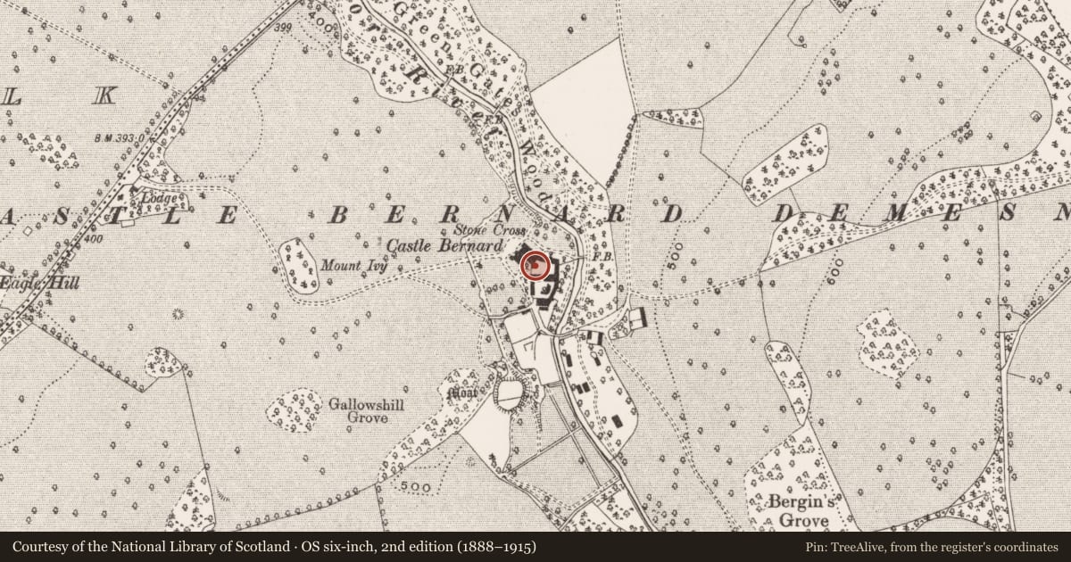
National Monument No. 510. Several architectural features are visible in a stretch of N-S wall forming the W side of a courtyard at the rear of the 19th century house known as Castle Bernard. There are 3 windows inserted into this wall one of which is a plain rectangular flat headed window, the other two are twin light mullioned ogee headed windows one of which has an external hood-mould visible. It is not clear if these features are original to this wall or if they were taken from the medieval church (OF036-040001-) in the village of Kinnitty and inserted into the courtyard wall of Castle Bernard in the nineteenth century. A hole was dug in the SE corner of the courtyard at the rear of the 19th century house known as Castle Bernard in 1982. The hole (top Wth. 0.55m; base Wth. 0.9m) revealed traces of a human burial which may have belonged to a burial ground although no evidence for other burials was revealed in the sections of the excavated hole. Inside this hole there was evidence for an earlier wall at a depth of 0.58m of a possible building underneath the 19th century courtyard wall. (ASI file 1982).
The above description is derived from the published 'Archaeological Inventory of County Offaly' (Dublin: Stationery Office, 1997). In certain instances the entries have been revised and updated in the light of recent research.
Date of upload: 23 May 2011
Nearby in the register
- Churchunder 1 mi
- Castle - unclassifiedunder 1 mi
- Burialunder 1 mi
- Cross - High cross (present location)under 1 mi
Other entries of the same register within about three miles of this one, by straight line.