Sites and Monuments Record · Ireland
Burial mound
Loughaun, County Offaly, Ireland
The record
- Townland
- Loughaun
- County
- Offaly
- Country
- Ireland
- First-edition OS map
- Not indicated
- Latest-edition OS map
- Not indicated
- Coordinates
- 53.31059, -7.54656
- SMR number
- OF008-044----
Slide toward Today to fade the historical sheet and see the modern map underneath.
David Rumsey Map Collection, Stanford LibrariesDavid Rumsey Map Collection, Stanford LibrariesDavid Rumsey Map Collection, Stanford LibrariesDavid Rumsey Map Collection, Stanford Libraries
4 historical maps cover this location, the earliest the 1790 map "Composite: Ireland." (David Rumsey Map Collection, Stanford Libraries).
Historical maps covering this location
- 1790 · Composite: Ireland. (David Rumsey Map Collection, Stanford Libraries)
- 1811 · Ireland. (David Rumsey Map Collection, Stanford Libraries)
- 1869 · Ireland. (David Rumsey Map Collection, Stanford Libraries)
- 1891 · Ireland 16 (David Rumsey Map Collection, Stanford Libraries)
This record in the National Monuments Service's Historic Environment Viewer ↗
The National Monuments Service's description
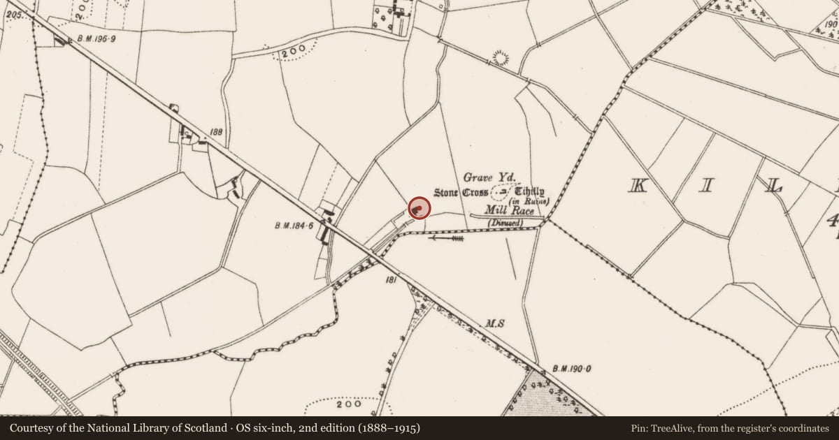
On slight ridge in area of undulating countryside, flat topped mound (approx. H 2m; diam. 17m E-W by 15m N-S) the top of which slopes from N to S with no evidence of an enclosing fosse at base of mound. There is a 19th century mill built into the W side of the mound. According to local tradition when the mill was being built part of the mound was excavated revealing several skeletons which indicates site as a possible burial mound. Appearance of the site along with lack of enclosing fosse indicates that this is the site of a natural ridge which has been utilised as a burial mound.
However its close proximity to the medieval church (OF008-045001-) and graveyard (OF008-045003-) of Tihilly may suggest that this mound may have been re-used as a possible motte in the twelfth century (Manning, Archaeological Survey of Ireland file 1988).
The above description is derived from the published 'Archaeological Inventory of County Offaly' (Dublin: Stationery Office, 1997). In certain instances the entries have been revised and updated in the light of recent research.
Date of upload: 23 May 2011
Nearby in the register
- Mill - cornunder 1 mi
- Graveyardunder 1 mi
- Ecclesiastical enclosureunder 1 mi
- Churchunder 1 mi
Other entries of the same register within about three miles of this one, by straight line.