Sites and Monuments Record · Ireland
Ecclesiastical enclosure
Loughaun, County Offaly, Ireland
The record
- Townland
- Loughaun
- County
- Offaly
- Country
- Ireland
- First-edition OS map
- NULL
- Latest-edition OS map
- Indicated
- Coordinates
- 53.31087, -7.54415
- SMR number
- OF008-045002-
Slide toward Today to fade the historical sheet and see the modern map underneath.
David Rumsey Map Collection, Stanford LibrariesDavid Rumsey Map Collection, Stanford LibrariesDavid Rumsey Map Collection, Stanford LibrariesDavid Rumsey Map Collection, Stanford Libraries
4 historical maps cover this location, the earliest the 1790 map "Composite: Ireland." (David Rumsey Map Collection, Stanford Libraries).
Historical maps covering this location
- 1790 · Composite: Ireland. (David Rumsey Map Collection, Stanford Libraries)
- 1811 · Ireland. (David Rumsey Map Collection, Stanford Libraries)
- 1869 · Ireland. (David Rumsey Map Collection, Stanford Libraries)
- 1891 · Ireland 16 (David Rumsey Map Collection, Stanford Libraries)
This record in the National Monuments Service's Historic Environment Viewer ↗
The National Monuments Service's description
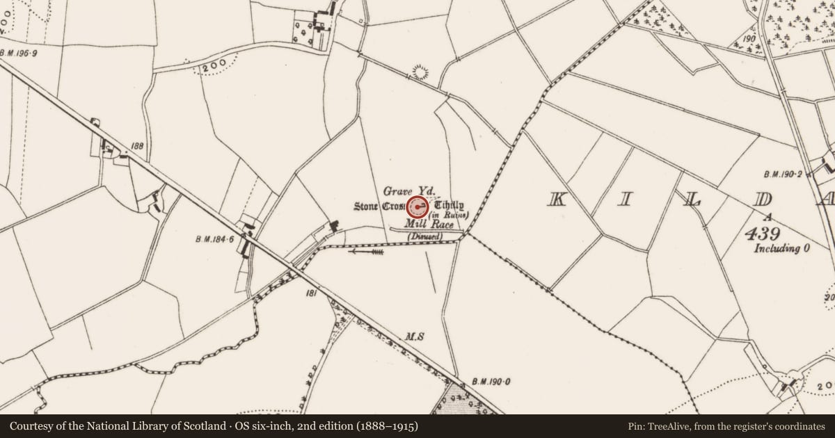
Possible small enclosure or cashel that is indicated on the OS 6-inch map may be the remains of a small early-Christian ecclesiastical enclosure. According to the Archaeological Survey of Ireland files this site was inspected by Liam de Paor in 1977 and he described ' a roughly oval shaped enclosure marked on the OS 6-inch maps as a dotted line is the remains of a cashel wall an inner enclosure' (ASI file 1977). Possible cashel like enclosure may be the remains of an enclosure that predates or is contemporary with the medieval church (OF008-045001-) at Tihilly. The present remains consist of a low rise of ground indicates the existence of a levelled enclosure (approx. diam. 32m N-S; 47m E-W) that once surrounded the medieval church at Tihilly. Church was located in E quadrant of enclosure.
The above description is derived from the published 'Archaeological Inventory of County Offaly' (Dublin: Stationery Office, 1997). In certain instances the entries have been revised and updated in the light of recent research.
Date of upload: 23 May 2011
Nearby in the register
- Churchunder 1 mi
- Graveyardunder 1 mi
- Cross-slabunder 1 mi
- Cross - High crossunder 1 mi
Other entries of the same register within about three miles of this one, by straight line.