Sites and Monuments Record · Ireland
Ritual site - holy well
Calgath, County Meath, Ireland
The record
- Townland
- Calgath
- County
- Meath
- Country
- Ireland
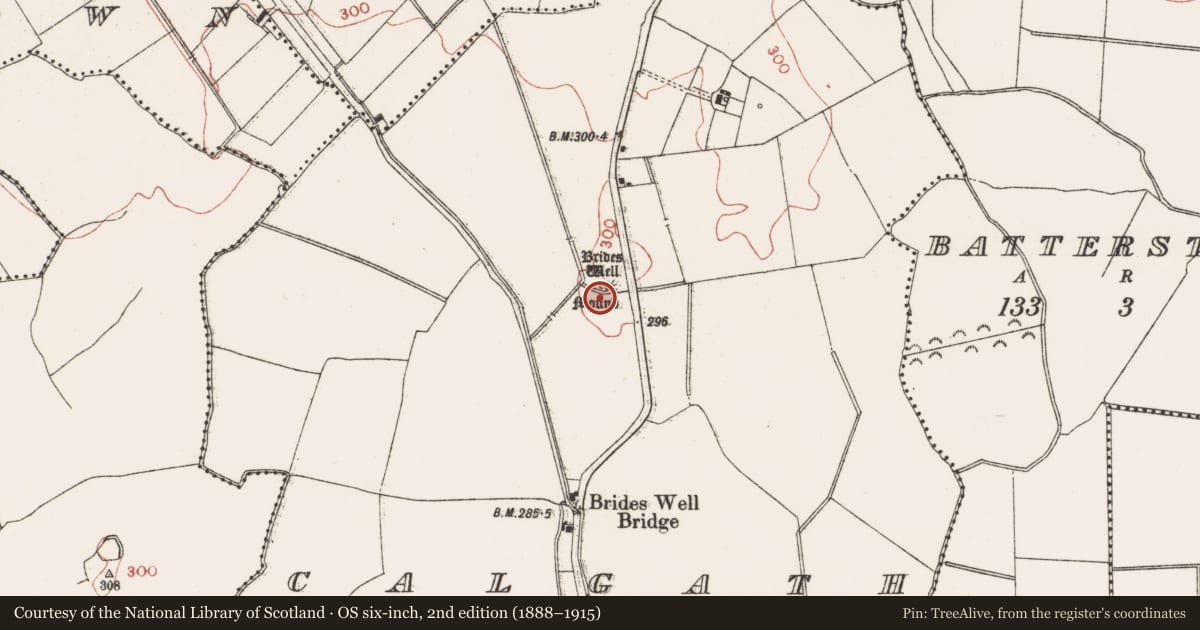
- First-edition OS map
- Brides Well
- Latest-edition OS map
- Brides Well
- Coordinates
- 53.42515, -6.65754
- SMR number
- ME049-014001-
Slide toward Today to fade the historical sheet and see the modern map underneath.
David Rumsey Map Collection, Stanford LibrariesDavid Rumsey Map Collection, Stanford LibrariesDavid Rumsey Map Collection, Stanford LibrariesDavid Rumsey Map Collection, Stanford Libraries
4 historical maps cover this location, the earliest the 1790 map "Composite: Ireland." (David Rumsey Map Collection, Stanford Libraries).
Historical maps covering this location
- 1790 · Composite: Ireland. (David Rumsey Map Collection, Stanford Libraries)
- 1799 · Ireland. (David Rumsey Map Collection, Stanford Libraries)
- 1830 · V.3:11-15:XV. Britisches Reich. C. Kon: Ireland. a. Prov: Leinster. Counties: 1-12 (David Rumsey Map Collection, Stanford Libraries)
- 1891 · Ireland 16 (David Rumsey Map Collection, Stanford Libraries)
This record in the National Monuments Service's Historic Environment Viewer ↗
The National Monuments Service's description
Situated on a rise of a gentle S-facing slope at the centre of the mound (ME049-014----). The well is known as St Bride’s Well and it was revered in the 19th century when it was described as having a diameter of 12 feet (c. 3.75m) (Cogan 1862-70, 2, 361). It was a small natural spring (diam. c. 1m) at the base of the stump of an ash tree in 1969 (SMR file) but is has been conserved in 2000 and is now a stone-lined well (diam. 0.85m; max. D 1.75m) with water approached by a path and steps from the N while the mound is less prominent. The well is surrounded by a paved path (Wth c. 1.5m) and within an enclosure (diam c. 5m) defined by a hedge and a picket fence, and there are two young trees outside the enclosure, one with rags. (French 2012, 33-4)
Compiled by: Michael Moore
Date of upload: 11 September, 2015
References
Cogan, Rev. A. 1862-70 Ecclesiastical history of the diocese of Meath: ancient and modern. (3 vols) Dublin: John Fowler, Joseph Dollard
French, N. 2012 Meath Holy Wells. Meath Heritage Centre
Nearby in the register
- Moundunder 1 mi
- Field systemunder 1 mi
- Enclosureunder 1 mi
- Castle - motteunder 1 mi
Other entries of the same register within about three miles of this one, by straight line.