Sites and Monuments Record · Ireland
Burnt mound
Bullstown, County Meath, Ireland
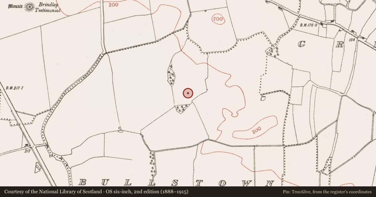
The record
- Townland
- Bullstown
- County
- Meath
- Country
- Ireland
- First-edition OS map
- Not indicated
- Latest-edition OS map
- Not indicated
- Coordinates
- 53.48875, -6.36501
- SMR number
- ME045-068----
Slide toward Today to fade the historical sheet and see the modern map underneath.
David Rumsey Map Collection, Stanford LibrariesDavid Rumsey Map Collection, Stanford LibrariesDavid Rumsey Map Collection, Stanford LibrariesDavid Rumsey Map Collection, Stanford Libraries
4 historical maps cover this location, the earliest the 1790 map "Composite: Ireland." (David Rumsey Map Collection, Stanford Libraries).
Historical maps covering this location
- 1790 · Composite: Ireland. (David Rumsey Map Collection, Stanford Libraries)
- 1799 · Ireland. (David Rumsey Map Collection, Stanford Libraries)
- 1811 · Ireland. (David Rumsey Map Collection, Stanford Libraries)
- 1891 · Ireland 16 (David Rumsey Map Collection, Stanford Libraries)
This record in the National Monuments Service's Historic Environment Viewer ↗
The National Monuments Service's description
Situated on a gently undulating landscape. A magnetic gradiometer survey (16R0116) of an extensive area (dims c. 600m ENE-WSW; c. 300m NNW-SSE) identified 15 potential archaeological features (Roseveare and Roseveare 2016), 11 of which were archaeologically tested (16E0548). Of these all but two proved to be either natural or of recent origin. An area of high bipolar electro-magnetic signal indicative of severe burning was archaeologically tested at its fringes and the presence of burnt mound material was confirmed. An exclusion zone (dims 35m N-S; 30m E-W) will preserve the monument in situ in the new development. (O’Carroll 2016, 8-9, 13)
Compiled by: Michael Moore
Date of upload; 26 February 2021
O’Carroll, Report on Archaeological Test Trenching, Bullstown Townland, Co. Meath. Licence: 16E0548. Unpublished report, CRDS
References
Roseveare, M. J. and Roseveare, A. C. K. 2016 Bullstown Solar Park, Ireland. Geophysical Survey Report. Licence: 16R0156. Unpublished report, Tigergeo.
Nearby in the register
- Ring-ditchunder 1 mi
- Ringfort - rathunder 1 mi
- Ring-ditchunder 1 mi
- Enclosureunder 1 mi
Other entries of the same register within about three miles of this one, by straight line.