Sites and Monuments Record · Ireland
Burial ground
Tromman, County Meath, Ireland
The record
- Townland
- Tromman
- County
- Meath
- Country
- Ireland
- Latest-edition OS map
- Not indicated
- Coordinates
- 53.48905, -6.83204
- SMR number
- ME042-034----
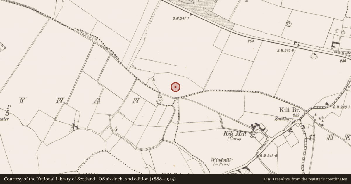
Slide toward Today to fade the historical sheet and see the modern map underneath.
David Rumsey Map Collection, Stanford LibrariesDavid Rumsey Map Collection, Stanford LibrariesDavid Rumsey Map Collection, Stanford LibrariesDavid Rumsey Map Collection, Stanford Libraries
4 historical maps cover this location, the earliest the 1790 map "Composite: Ireland." (David Rumsey Map Collection, Stanford Libraries).
Historical maps covering this location
- 1790 · Composite: Ireland. (David Rumsey Map Collection, Stanford Libraries)
- 1799 · Ireland. (David Rumsey Map Collection, Stanford Libraries)
- 1830 · V.3:11-15:XV. Britisches Reich. C. Kon: Ireland. a. Prov: Leinster. Counties: 1-12 (David Rumsey Map Collection, Stanford Libraries)
- 1891 · Ireland 16 (David Rumsey Map Collection, Stanford Libraries)
This record in the National Monuments Service's Historic Environment Viewer ↗
The National Monuments Service's description
Archaeological investigations (o7E0667) were undertaken at this site in 2007 (Halliday 2007). A series of trenches were excavated and revealed two burial grounds (ME042-033----; ME042-034----), a possible burnt mound (ME042-036----) and a possible prehistoric circular structure (ME042-037----). ‘A series of trenches were excavated across the southern area of the proposed development and a significant number of archaeological features were identified. The majority of these were concentrated in the eastern part of the development and included two distinct burial grounds that are thought to date to the Early Medieval period. The first of these was located in the southeast corner of the area on top of a low mound identified as an area of high potential in the original EIS. At least thirteen individual burials were identified with adult inhumations being recorded in the southern half of the mound, while infant and neo-natal burials were recorded in the northern half. A possible enclosing ditch was also identified surrounding these burials along with the remains of a probable fulacht fiadh.’ (ibid., executive summary). The second burial ground was located c. 160m to the north (ME042-033----).
Compiled by: Paul Walsh
Date of upload: 6 February 2015
References
Halliday, S. 2007 Archaeological testing report: proposed quarry extension (sic). Licence No. 07E0667. Unpublished report: Arch-Tech. Dublin
Nearby in the register
- Burnt moundunder 1 mi
- Structureunder 1 mi
- Burial groundunder 1 mi
- Earthworkunder 1 mi
Other entries of the same register within about three miles of this one, by straight line.