Sites and Monuments Record · Ireland
Enclosure
Roestown (Ratoath By.), County Meath, Ireland
The record
- Townland
- Roestown (Ratoath By.)
- County
- Meath
- Country
- Ireland
- First-edition OS map
- Not indicated
- Latest-edition OS map
- Not indicated
- Coordinates
- 53.52658, -6.55604
- SMR number
- ME038-074004-
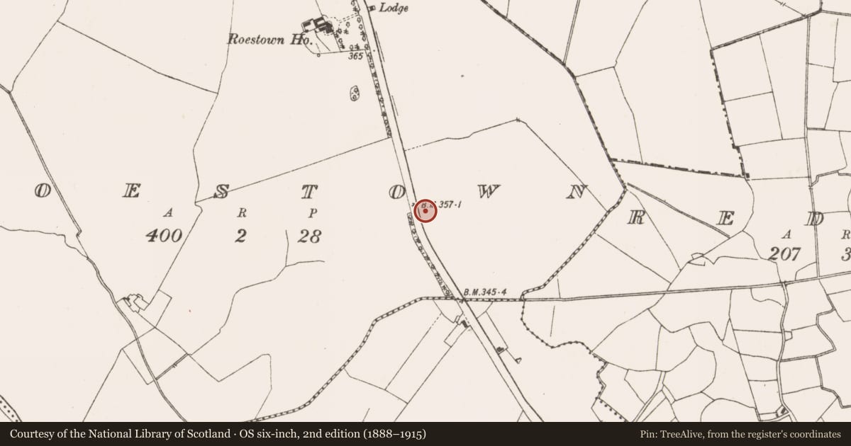
Slide toward Today to fade the historical sheet and see the modern map underneath.
David Rumsey Map Collection, Stanford LibrariesDavid Rumsey Map Collection, Stanford LibrariesDavid Rumsey Map Collection, Stanford LibrariesDavid Rumsey Map Collection, Stanford Libraries
4 historical maps cover this location, the earliest the 1799 map "Ireland." (David Rumsey Map Collection, Stanford Libraries).
Historical maps covering this location
- 1799 · Ireland. (David Rumsey Map Collection, Stanford Libraries)
- 1811 · Ireland. (David Rumsey Map Collection, Stanford Libraries)
- 1830 · V.3:11-15:XV. Britisches Reich. C. Kon: Ireland. a. Prov: Leinster. Counties: 1-12 (David Rumsey Map Collection, Stanford Libraries)
- 1891 · Ireland 16 (David Rumsey Map Collection, Stanford Libraries)
This record in the National Monuments Service's Historic Environment Viewer ↗
The National Monuments Service's description
In Area A Enclosure 6 (int. dims 17m NW-SE; 10m NE-SW) was outside Enclosure 2 on the NE side during Phase 2. It was defined by a single ditch (Wth 1.63m; D 0.54m) with a large opening (Wth c. 15.5m) at SW facing towards Enclosure 2. The ditch was cut by the N ditch of Enclosure 3 during Phase 2, and had a single fill with inclusions of animal bone, but the articulated skeleton of a dog was at its base. A sample from the dog returned a C14 date of 605-769 cal. AD (BETA 219003). The only artefact recovered was a flint convex end-scraper. (O’Hara 2009, 16-17; 2009a)
True location: ITM (695736, 753942)
See the attached plans from O'Hara (2009, figs 9, 44)
_2 Site plan;
_3 Phase 1
Compiled by: Michael Moore
Date of upload: 25 April, 2022
O’Hara, R. 2009 M3 Clonee - North of Kells, Contract 2 Dunshaughlin - Navan. Final Report on the Archaeological Excavation of Roestown 2, Co. Meath. Licence: E003055. Unpublished report, Archaeological Consultancy Services
O’Hara, R. 2009a Early Medieval Settlement at Roestown 2. In Deevy, M. and Donald Murphy 2009 Places Along the Way, 57-82. NRA Scheme Monographs: 5.
Nearby in the register
Other entries of the same register within about three miles of this one, by straight line.