Sites and Monuments Record · Ireland
Kiln - corn-drying
Bailis, County Meath, Ireland
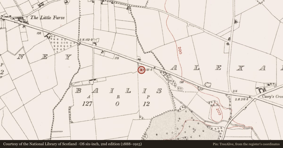
The record
- Townland
- Bailis
- County
- Meath
- Country
- Ireland
- First-edition OS map
- Not indicated
- Latest-edition OS map
- Not indicated
- Coordinates
- 53.64797, -6.65284
- SMR number
- ME025-095003-
Slide toward Today to fade the historical sheet and see the modern map underneath.
David Rumsey Map Collection, Stanford LibrariesDavid Rumsey Map Collection, Stanford LibrariesDavid Rumsey Map Collection, Stanford LibrariesDavid Rumsey Map Collection, Stanford Libraries
4 historical maps cover this location, the earliest the 1790 map "Composite: Ireland." (David Rumsey Map Collection, Stanford Libraries).
Historical maps covering this location
- 1790 · Composite: Ireland. (David Rumsey Map Collection, Stanford Libraries)
- 1799 · Ireland. (David Rumsey Map Collection, Stanford Libraries)
- 1811 · Ireland. (David Rumsey Map Collection, Stanford Libraries)
- 1891 · Ireland 16 (David Rumsey Map Collection, Stanford Libraries)
This record in the National Monuments Service's Historic Environment Viewer ↗
The National Monuments Service's description
The corn-drying kiln had been identified in the archaeological testing, and it occupied the N edge of a large cut (max. dims 12.7m N-S; 5.2m E-W; D 0.5m) in the subsoil. It consisted of a stone-lined bulb-shaped pit (int. dims 4.14m E-W; 3.16m N-S; D 0.5m) with an opening to the E where it widens outwards (Wth 0.55-1.05m). The wall is double-faced with a clay core (Wth 2.1-2.4m) at S but the facing is set into the edge of the cut on the N side. The exposed bedrock at the centre had been scorched red, and was covered by a thin layer of silty clay that produced post-medieval pottery, glass and animal bone. The upper fill of silty clay had similar material. Within the cut to the S were several deposits of charcoal-rich material that was probably rake-out from the kiln. (McGlade and Ruddy 2019, 29-31)
See the attached plans from McGlade and Ruddy 2019 (figs P 33, 29) _01 site plan; _02 Kiln plan;
Compiled by: Michael Moore
Date of upload: 13 April, 2023
McGlade, S. and Ruddy, S. 2019 Excavation of Site A, Bailis, & Monitoring Alexander Reid, Navan. Licence: 16E0449. Unpublished report, Archaeology Plan
Nearby in the register
- Cisternunder 1 mi
- Field systemunder 1 mi
- House - 17th centuryunder 1 mi
- Hut siteunder 1 mi
Other entries of the same register within about three miles of this one, by straight line.