Sites and Monuments Record · Ireland
Hut site
Athlumney, County Meath, Ireland
The record
- Townland
- Athlumney
- County
- Meath
- Country
- Ireland
- First-edition OS map
- Not indicated
- Latest-edition OS map
- Not indicated
- Coordinates
- 53.64344, -6.66475
- SMR number
- ME025-079002-
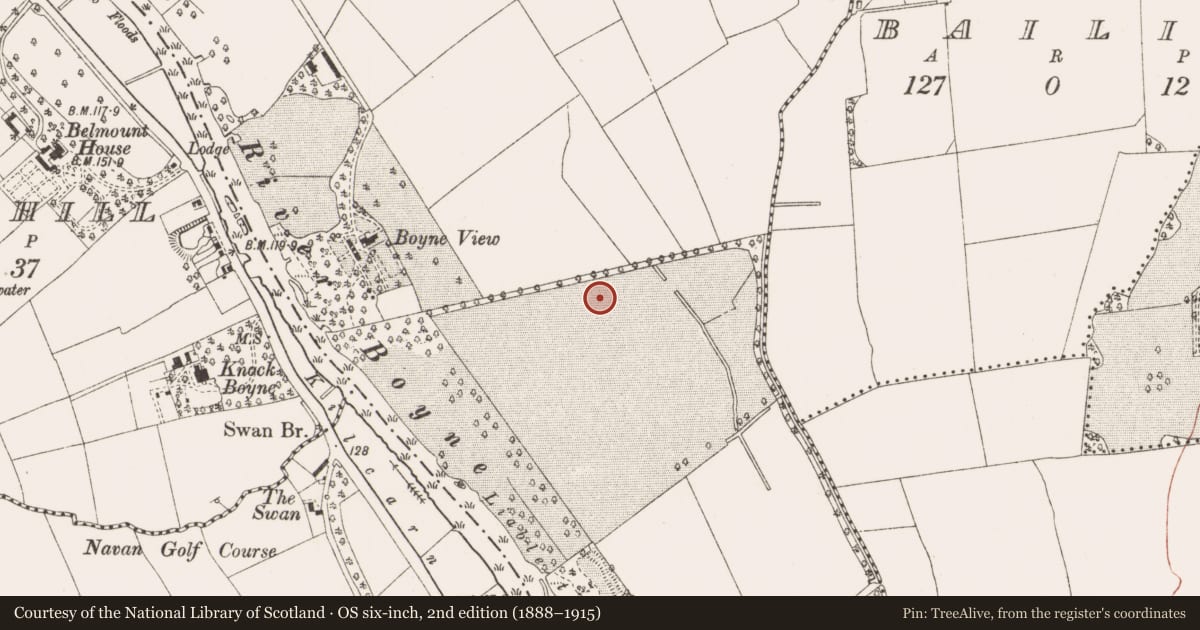
Slide toward Today to fade the historical sheet and see the modern map underneath.
David Rumsey Map Collection, Stanford LibrariesDavid Rumsey Map Collection, Stanford LibrariesDavid Rumsey Map Collection, Stanford LibrariesDavid Rumsey Map Collection, Stanford Libraries
4 historical maps cover this location, the earliest the 1790 map "Composite: Ireland." (David Rumsey Map Collection, Stanford Libraries).
Historical maps covering this location
- 1790 · Composite: Ireland. (David Rumsey Map Collection, Stanford Libraries)
- 1799 · Ireland. (David Rumsey Map Collection, Stanford Libraries)
- 1811 · Ireland. (David Rumsey Map Collection, Stanford Libraries)
- 1891 · Ireland 16 (David Rumsey Map Collection, Stanford Libraries)
This record in the National Monuments Service's Historic Environment Viewer ↗
The National Monuments Service's description
Two phases of Early Medieval activity are recorded in the area of the rectilinear enclosure. Structure 2 is a circular hut-site (int. diam. c. 5m) defined by a curving slot-trench (L 7.25m; Wth 0.25-0.5m; max. D 0.18m), most of which is within the excavated area. One post-hole was inside a wide entrance gap (Wth 2.1m) at SSE. Structure 1 was located just S of Structure 2 and is largely outside the excavated area to the SW but is thought to be later than Structure 2. It was represented by the arcs of slot-trenches of a circular hut-site (diam. c. 6m) with a wide entrance (Wth c. 2.3m) at NE, which is adjacent to the entrance to Structure 2. The entrance has a porch wall extending outwards (L 2.5m) on the E side. A sample from the S curving slot-trench provided a C14 date of Cal. AD 551-643 (UBA-8092), making the hut-sites contemporary with the burial ground (ME025-078----), c. 80m to the WSW.
See the attached plans from Hession (_01, _02) (2009, figs 5, 6) and McQuade (_03) (2007, fig. 5)
Compiled by: Michael Moore
Date of upload: 31 March 2023
Hession, J. 2009 Final Archaeological Report for the multiphase archaeological landscape preserved in situ at IDA Business and Technology Park, Dublin, Rd., Navan, Co. Meath. Licence: 07E0892. Unpublished report, Margaret Gowen & Co.
McQuade, M. 2007 Archaeological Monitoring and Excavation, Athlumney, Co. Meath. Licence: 97E0322ext. Unpublished report, Margaret Gowen & Co.
Nearby in the register
- Enclosureunder 1 mi
- Ring-ditchunder 1 mi
- Enclosureunder 1 mi
- Burial groundunder 1 mi
Other entries of the same register within about three miles of this one, by straight line.