Sites and Monuments Record · Ireland
House - Neolithic
Newtown (Kells Lower By., Kilmainham ED), County Meath, Ireland
The record
- Townland
- Newtown (Kells Lower By., Kilmainham ED)
- County
- Meath
- Country
- Ireland
- First-edition OS map
- Not indicated
- Latest-edition OS map
- Not indicated
- Coordinates
- 53.84937, -6.85492
- SMR number
- ME005-105----
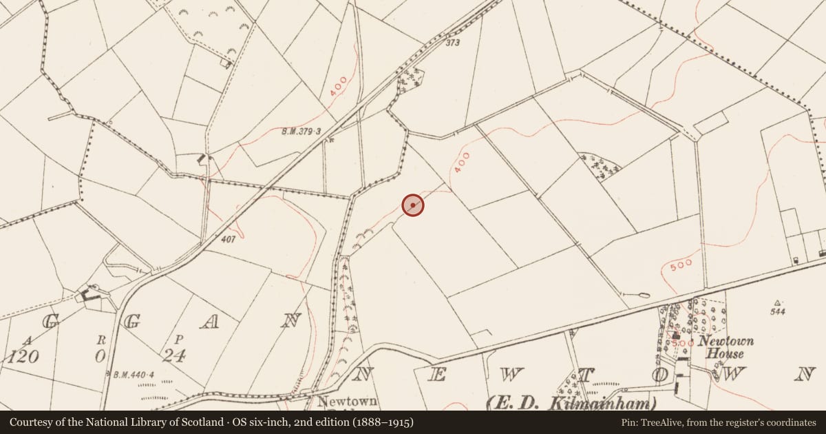
Slide toward Today to fade the historical sheet and see the modern map underneath.
David Rumsey Map Collection, Stanford LibrariesDavid Rumsey Map Collection, Stanford LibrariesDavid Rumsey Map Collection, Stanford LibrariesDavid Rumsey Map Collection, Stanford Libraries
4 historical maps cover this location, the earliest the 1636 map "Vltoniae Orientalis Pars" (David Rumsey Map Collection, Stanford Libraries).
Historical maps covering this location
- 1636 · Vltoniae Orientalis Pars (David Rumsey Map Collection, Stanford Libraries)
- 1790 · Composite: Ireland. (David Rumsey Map Collection, Stanford Libraries)
- 1869 · Ireland. (David Rumsey Map Collection, Stanford Libraries)
- 1891 · Ireland 16 (David Rumsey Map Collection, Stanford Libraries)
This record in the National Monuments Service's Historic Environment Viewer ↗
The National Monuments Service's description
Located on a rise towards the bottom of a NW-facing slope with a NW-SE stream c. 70m to the NW. An occupation level was identified by Claire Cotter on the line of a Bórd Gáis pipeline from Dunleer, Co. Lough, to Mullagh, Co. Cavan. It proved to be a Neolithic house with a Bronze Age phase, and was excavated (E000633) by Eoin Halpin. The house was rectangular (dims c. 10m x 6m) divided into two rooms, the E (dims 6m x 5.5m) with a doorway (Wth 1m) at E to the exterior and an internal doorway (Wth 1.5m) to the W room, the full extent of which did not survive and it may be that the W end was open. Three post-holes on the central axis and the load-bearing post-and-plank N and S walls supported the roof. A pit in the E room was filled with burnt stone and ash. Charcoal samples from the foundation trench produced calibrated determinations of 3971-3706 BC and 3936-3697 BC. A Bronze Age urn burial (ME005-105001-) was inserted in the floor of the E room. A gully (Wth c. 0.4m; D 0.1m) c. 2m to the E was C-shaped (dims c. 7m N-S; c. 6m plus E-W) and may have formed an associated enclosure. Just 2m N of this was an irregularly-shaped stony platform (dims c. 10m E-W; 5m N-S). Amongst the finds were sherds of Neolithic pottery. (Halpin and Gowen 1991; Halpin 1992; Gowen 1992)
Compiled by: Michael Moore
Date of upload: 5 September 2018
References
Halpin, E. and Gowen, M. 1991 Newtown: Neolithic house. In I. Bennett (ed.) Excavations 1991: summary accounts of archaeological excavations in Ireland, 37-9. Bray, Wordwell
Halpin, E. 1992 Pre gas-pipeline excavation at Newtown, Co. Meath. Archaeological Development Services, Licence: E000633. Unpublished report, Archaeological Development Services
Gowen, M. 1992 A neolithic house at Newtown. Archaeology Ireland 6, no. 2, 25-7.
Nearby in the register
- Pit-burialunder 1 mi
- Designed landscape - tree-ringunder 1 mi
- Souterrainunder 1 mi
- Ringfort - rathunder 1 mi
Other entries of the same register within about three miles of this one, by straight line.