Sites and Monuments Record · Ireland
Children's burial ground
Killeenrevagh (Kilmaine By.), County Mayo, Ireland
The record
- Townland
- Killeenrevagh (Kilmaine By.)
- County
- Mayo
- Country
- Ireland
- First-edition OS map
- Not indicated
- Latest-edition OS map
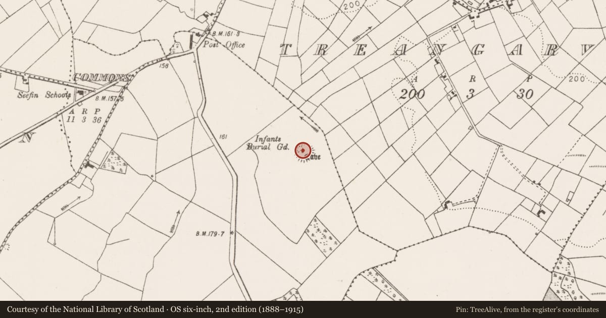
- Childrens Burial Gd.
- Coordinates
- 53.65467, -9.00509
- SMR number
- MA111-061003-
Slide toward Today to fade the historical sheet and see the modern map underneath.
David Rumsey Map Collection, Stanford LibrariesDavid Rumsey Map Collection, Stanford LibrariesDavid Rumsey Map Collection, Stanford LibrariesDavid Rumsey Map Collection, Stanford Libraries
4 historical maps cover this location, the earliest the 1753 map "Mappa geographica Regni Hiberniae" (David Rumsey Map Collection, Stanford Libraries).
Historical maps covering this location
- 1753 · Mappa geographica Regni Hiberniae (David Rumsey Map Collection, Stanford Libraries)
- 1790 · Composite: Ireland. (David Rumsey Map Collection, Stanford Libraries)
- 1869 · Ireland. (David Rumsey Map Collection, Stanford Libraries)
- 1891 · Ireland 16 (David Rumsey Map Collection, Stanford Libraries)
This record in the National Monuments Service's Historic Environment Viewer ↗
The National Monuments Service's description
At a rath (MA111-061001-).
The rath is indicated as a children’s burial ground on the 1930 OS 6-inch map but not on the 1838 edition. Simple, low uninscribed stone gravemarkers are set in the ground throughout the level W half of the rath interior. The overall impression is of a random scatter, but amidst the spread it can be seen that several close-set stones are arranged in rows, aligned roughly N−S or NNW−SSE, some apparently on the line of the relict cultivation ridges which traverse the rath interior.
Immediately outside the rath, at the foot of the scarp at NW, there is a shallow depression (c. 5m NW−SE; c. 4m NE−SW) defined on the NE side by a low sod-covered stony rise and on the SW side by a slight, poorly defined scarp. A few stones protrude from the sod in this hollow and a single large prostrate slab lies on the N edge of the hollow; these may also be gravemarkers.
Compiled by: Jane O'Shaughnessy
Date of upload: 17 February 2023
Nearby in the register
- Ringfort - rathunder 1 mi
- Souterrainunder 1 mi
- Enclosureunder 1 mi
- Moundunder 1 mi
Other entries of the same register within about three miles of this one, by straight line.