Sites and Monuments Record · Ireland
Ringfort - rath
Culliagh, County Mayo, Ireland
The record
- Townland
- Culliagh
- County
- Mayo
- Country
- Ireland
- First-edition OS map
- Not indicated
- Latest-edition OS map
- Not indicated
- Coordinates
- 53.88246, -8.70204
- SMR number
- MA073-049----
Slide toward Today to fade the historical sheet and see the modern map underneath.
David Rumsey Map Collection, Stanford LibrariesDavid Rumsey Map Collection, Stanford LibrariesDavid Rumsey Map Collection, Stanford LibrariesDavid Rumsey Map Collection, Stanford Libraries
4 historical maps cover this location, the earliest the 1790 map "Composite: Ireland." (David Rumsey Map Collection, Stanford Libraries).
Historical maps covering this location
- 1790 · Composite: Ireland. (David Rumsey Map Collection, Stanford Libraries)
- 1857 · Ireland (David Rumsey Map Collection, Stanford Libraries)
- 1869 · Ireland. (David Rumsey Map Collection, Stanford Libraries)
- 1891 · Ireland 16 (David Rumsey Map Collection, Stanford Libraries)
This record in the National Monuments Service's Historic Environment Viewer ↗
The National Monuments Service's description
Located in rolling pasture, with a gradual fall of ground to E–SE towards an expanse of heather-covered bog. There is an area of woodland c. 100m to S.
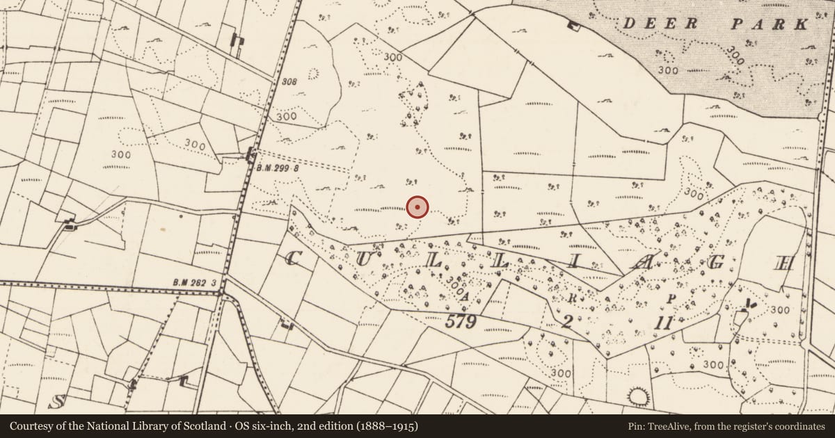
This rath is not indicated on any edition of the OS 6-inch maps. It consists of a slightly raised circular area (24m N–S; 26.5m E–W) defined at N–E by a sod-covered stony bank (Wth 3.5-4m, int. H 0.4m; ext. H 0.65m), at ESE–S by a scarp (H 1.4m) with a slightly raised internal rim and at S–N by a scarp (H 1.2m) incorporated at W–NW into a linear field wall.
There is a break or slump (Wth 2.5m) in the scarp at E which may be an original entrance. The interior is fairly level; in the W half, there is a slight roughly circular rise (diam. c. 10m) with a slope down to SW towards the rath scarp. The rath interior is grass cover, with a few hawthorn trees around the perimeter. Immediately outside the rath, to W of the field wall, is a sub-circular shallow depression (diam. c. 10m), possibly a quarry pit.
Compiled by: Jane O’Shaughnessy
Date of upload: 22 June 2021
Nearby in the register
- Enclosureunder 1 mi
- Ringfort - rathunder 1 mi
- Enclosureunder 1 mi
- Ringfort - rathunder 1 mi
Other entries of the same register within about three miles of this one, by straight line.