Sites and Monuments Record · Ireland
Ringfort - rath
Tomboholla, County Mayo, Ireland
The record
- Townland
- Tomboholla
- County
- Mayo
- Country
- Ireland
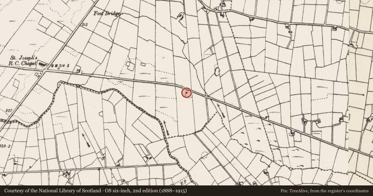
- First-edition OS map
- Indicated
- Latest-edition OS map
- Hachured
- Coordinates
- 53.93375, -8.82367
- SMR number
- MA062-137----
Slide toward Today to fade the historical sheet and see the modern map underneath.
David Rumsey Map Collection, Stanford LibrariesDavid Rumsey Map Collection, Stanford LibrariesDavid Rumsey Map Collection, Stanford LibrariesDavid Rumsey Map Collection, Stanford Libraries
4 historical maps cover this location, the earliest the 1790 map "Composite: Ireland." (David Rumsey Map Collection, Stanford Libraries).
Historical maps covering this location
- 1790 · Composite: Ireland. (David Rumsey Map Collection, Stanford Libraries)
- 1857 · Ireland (David Rumsey Map Collection, Stanford Libraries)
- 1869 · Ireland. (David Rumsey Map Collection, Stanford Libraries)
- 1891 · Ireland 16 (David Rumsey Map Collection, Stanford Libraries)
This record in the National Monuments Service's Historic Environment Viewer ↗
The National Monuments Service's description
In pasture, located on top of a rise, with good views. There is a stream c. 50m to E and another stream 150m to SW.
This rath has been damaged. The remains consist of a roughly semi-circular, raised area (c. 29m NW-SE; c. 22m NE-SW) defined on the curving side SSE−NW by an earthen bank (Wth 2.5m; int. H 0.2m; ext. H 1.4m) with an external fosse (Wth 2-2.5m; ext. D 0.4m). The bank is very low internally but has a well defined external slope. The fosse is evident as a shallow depression, which becomes wider (W 3.5m) and less clearly defined at NW. At NNW−E the fosse, bank and part of the interior have been quarried away, and a road now borders this side of the rath. A straight field fence, on NNW-SSE axis, truncated the E side of the rath.
There is a barely discernible linear rise (Wth 3m) outside the fosse at NW; this may be an external bank or simply a levelled field fence. The rath perimeter is ringed with dense brambles and gorse.
Compiled by: Jane O’Shaughnessy
Date of upload: 26 January 2021
Nearby in the register
- Ringfort - rathunder 1 mi
- Enclosureunder 1 mi
- Enclosureunder 1 mi
- Ringfort - rathunder 1 mi
Other entries of the same register within about three miles of this one, by straight line.