Sites and Monuments Record · Ireland
Ringfort - rath
Croftonpark, County Mayo, Ireland
The record
- Townland
- Croftonpark
- County
- Mayo
- Country
- Ireland
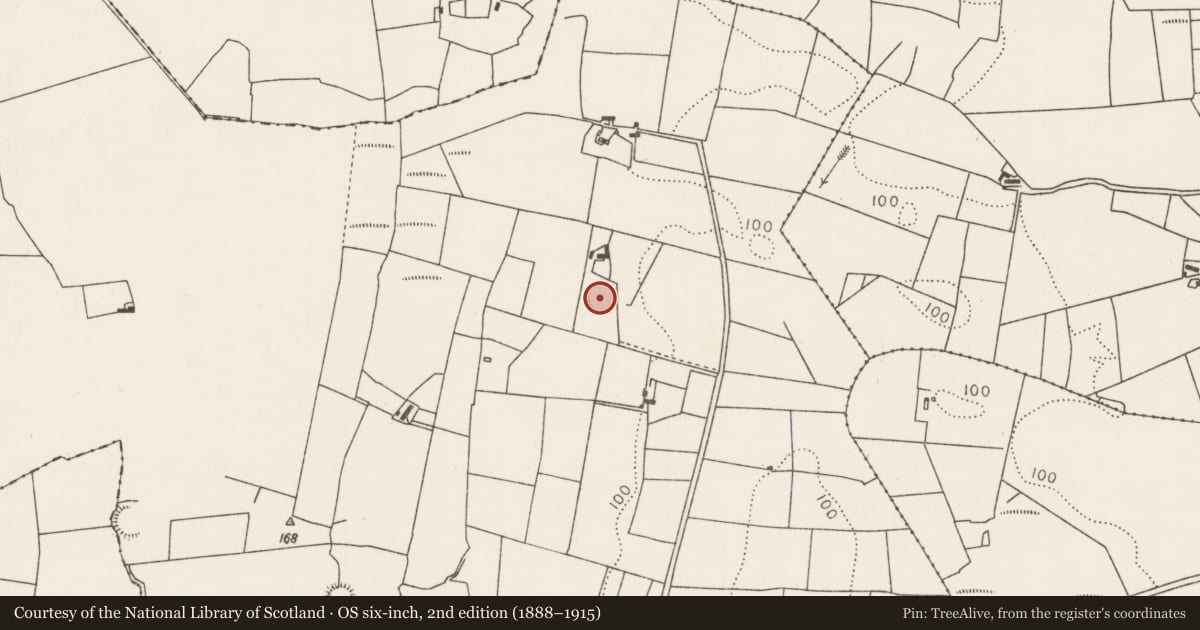
- First-edition OS map
- Indicated
- Latest-edition OS map
- Hachured
- Coordinates
- 54.13757, -9.18243
- SMR number
- MA030-033----
Slide toward Today to fade the historical sheet and see the modern map underneath.
David Rumsey Map Collection, Stanford LibrariesDavid Rumsey Map Collection, Stanford LibrariesDavid Rumsey Map Collection, Stanford LibrariesDavid Rumsey Map Collection, Stanford Libraries
4 historical maps cover this location, the earliest the 1790 map "Composite: Ireland." (David Rumsey Map Collection, Stanford Libraries).
Historical maps covering this location
- 1790 · Composite: Ireland. (David Rumsey Map Collection, Stanford Libraries)
- 1841 · Ireland. (David Rumsey Map Collection, Stanford Libraries)
- 1869 · Ireland. (David Rumsey Map Collection, Stanford Libraries)
- 1891 · Ireland 16 (David Rumsey Map Collection, Stanford Libraries)
This record in the National Monuments Service's Historic Environment Viewer ↗
The National Monuments Service's description
In pasture, located on a rise in gently undulating terrain, with good views to E over lowlying wettish grassland. A farmyard lies immediately to N.
The dilapidated outline of a roughly circular, raised area (diam. c. 30), defined by an irregular, degraded scarp or slope, can be discerned. At E the scarp merges with a natural fall of ground giving an overall height of c. 2m. A pronounced depression (Wth c. 3) outside the scarp at S may be an original fosse, but at the time of visit was largely obscured by an infill of domestic refuse. A linear depression or gully (Wth 3.5-4m; D 0.7m), on a NE−SW axis, cuts through the full width of the interior, possibly the remnants of a laneway. It is flanked on the W side by another linear depression or ditch (Wth c. 3m; D 0.7m). A farm road (Wth c. 3m), leading to the farmyard at N, skirts the rath, truncating its edge at the SW−W.
Covered in rough grass, with blackthorn and hawthorn scrub and clumps of brambles.
Compiled by: Jane O’Shaughnessy
Date of upload: 13 April 2018
Nearby in the register
- Ringfort - rathunder 1 mi
- Enclosureunder 1 mi
- Ringfort - rathunder 1 mi
- Burialunder 1 mi
Other entries of the same register within about three miles of this one, by straight line.