Sites and Monuments Record · Ireland
House - medieval
Inis Gé Thuaidh, County Mayo, Ireland
The record
- Townland
- Inis Gé Thuaidh
- County
- Mayo
- Country
- Ireland
- First-edition OS map
- Not indicated
- Latest-edition OS map
- Not indicated
- Coordinates
- 54.13182, -10.18851
- SMR number
- MA023-014015-
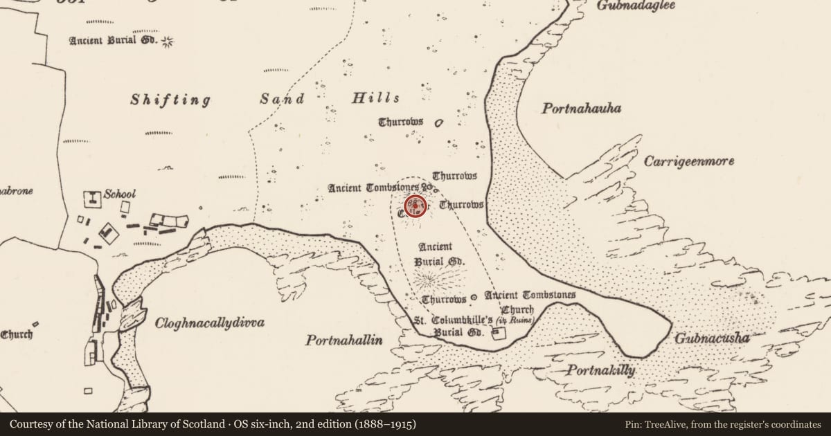
Slide toward Today to fade the historical sheet and see the modern map underneath.
David Rumsey Map Collection, Stanford LibrariesDavid Rumsey Map Collection, Stanford LibrariesDavid Rumsey Map Collection, Stanford LibrariesDavid Rumsey Map Collection, Stanford Libraries
4 historical maps cover this location, the earliest the 1790 map "Composite: Ireland." (David Rumsey Map Collection, Stanford Libraries).
Historical maps covering this location
- 1790 · Composite: Ireland. (David Rumsey Map Collection, Stanford Libraries)
- 1841 · Ireland. (David Rumsey Map Collection, Stanford Libraries)
- 1869 · Ireland. (David Rumsey Map Collection, Stanford Libraries)
- 1891 · Ireland 16 (David Rumsey Map Collection, Stanford Libraries)
This record in the National Monuments Service's Historic Environment Viewer ↗
The National Monuments Service's description
Exposed on a slight terrace on the eroding lower S slope of Bailey Mór mound (MA023-014003-).The slope falls steeply immediately to S of the house.
Remains of what appears to be a stone-built house are eroding out of the largely-grass-covered sandy slope of the mound. Only the S portion of the house, which features an entrance passage, can be traced.
An arc of five upright contiguous slabs appears to represent the curving E−SE wall of the house. It peters out at its N end in a concentration of loose stones. At its S end, it merges with a short entrance passage (L 2m NE−SW; Wth 1m) extending to S. The passage is defined on each side by a row of contiguous and overlapping, thin upright slabs (Wth 0.55-0.75m; 0.55-0.77m). One of the uprights at the S end of the E wall of the passage is centrally perforated. Seashells are eroding out of the slope immediately to SE of the house.
This is a National Monument in state ownership (no. 379).
Attached images:
MA023-014015-_01.JPG House viewed from NE
MA023-014015-_02.JPG House viewed from E
MA023-014015-_03.JPG House viewed from N, showing entrance
MA023-014015-_04.JPG Entrance viewed from S
Compiled by: Jane O’Shaughnessy
Date of upload: 12 July 2023
Nearby in the register
- House - medievalunder 1 mi
- House - indeterminate dateunder 1 mi
- Moundunder 1 mi
- Crossunder 1 mi
Other entries of the same register within about three miles of this one, by straight line.