Sites and Monuments Record · Ireland
Barrow - ring-barrow
Ross (Fallon), County Mayo, Ireland
The record
- Townland
- Ross (Fallon)
- County
- Mayo
- Country
- Ireland
- First-edition OS map
- Indicated
- Latest-edition OS map
- Hachured
- Coordinates
- 54.23251, -9.21982
- SMR number
- MA015-035----
Slide toward Today to fade the historical sheet and see the modern map underneath.
David Rumsey Map Collection, Stanford LibrariesDavid Rumsey Map Collection, Stanford LibrariesDavid Rumsey Map Collection, Stanford LibrariesDavid Rumsey Map Collection, Stanford Libraries
4 historical maps cover this location, the earliest the 1790 map "Composite: Ireland." (David Rumsey Map Collection, Stanford Libraries).
Historical maps covering this location
- 1790 · Composite: Ireland. (David Rumsey Map Collection, Stanford Libraries)
- 1841 · Ireland. (David Rumsey Map Collection, Stanford Libraries)
- 1869 · Ireland. (David Rumsey Map Collection, Stanford Libraries)
- 1891 · Ireland 16 (David Rumsey Map Collection, Stanford Libraries)
This record in the National Monuments Service's Historic Environment Viewer ↗
The National Monuments Service's description
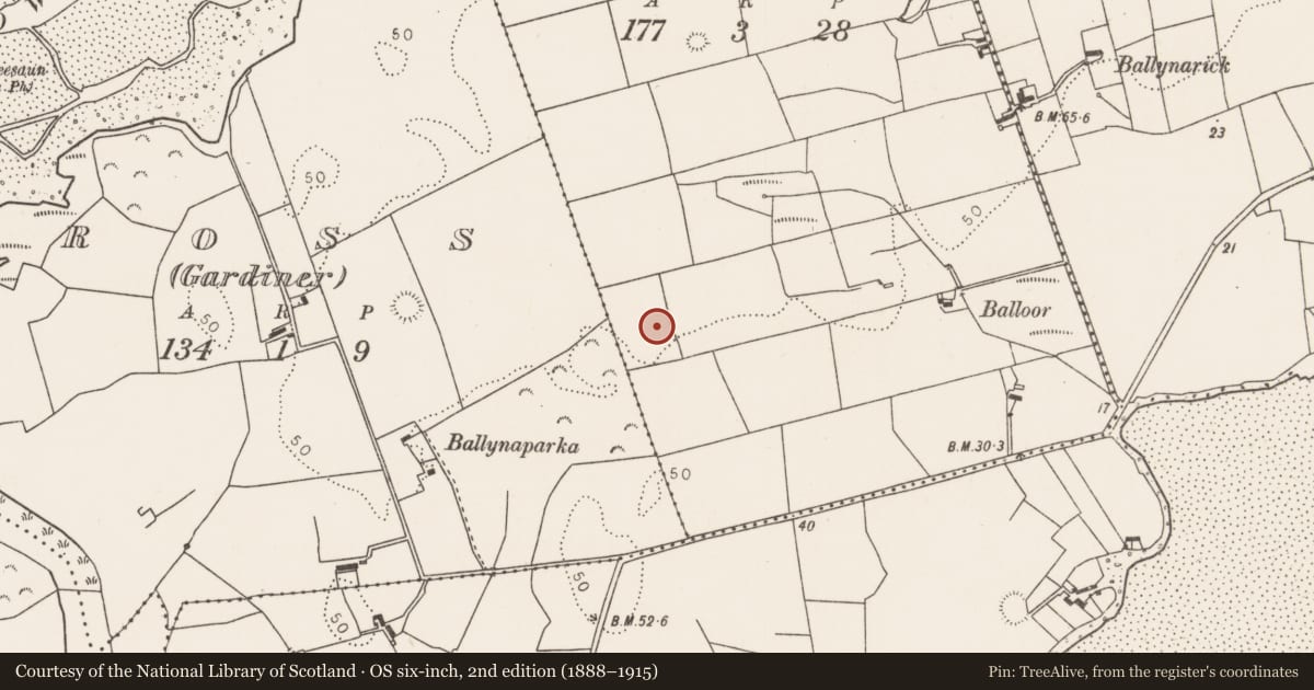
In pasture, straddles the E side of a low rise in a relatively lowlying position on an expanse of undulating grassland which merging with expanse of grass-covered sand dunes at NE, and is flanked to NW by the mouth of the Palmerstown River, and to SE by Killala Bay. Overlooked c. 100m to NNE by a hillock on top of which is a mound barrow (MA015-085----). Nephin Mountain is clearly visible to SSE and the Ox Mountains define the distant skyline on the opposite side of Killala Bay to S–SE.
This ringbarrow consists of a circular platform (13.8m N–S; 13.8m E–W; H 0.6m above fosse base) enclosed by a fosse (Wth 2.5m; D 0.35m) with an external bank (Wth 4m; int. H 0.2m; ext. H 0.65m at S). The overall diameter is c. 23m. The central platform appears slightly higher in the centre with a slight slope down to S–SE. There are two boulders embedded in the platform, one (max. dim. c. 0.75m; H 0.4m) in the centre, and another of similar size c. 2m to SE.
Compiled by: Jane O’Shaughnessy
Date of upload: 6 December 2018
Nearby in the register
- Barrow - mound barrowunder 1 mi
- Moundunder 1 mi
- Buildingunder 1 mi
- Ringfort - rathunder 1 mi
Other entries of the same register within about three miles of this one, by straight line.