Sites and Monuments Record · Ireland
Structure
Keerglen, County Mayo, Ireland
The record
- Townland
- Keerglen
- County
- Mayo
- Country
- Ireland
- First-edition OS map
- Not indicated
- Latest-edition OS map
- Not indicated
- Coordinates
- 54.23573, -9.41245
- SMR number
- MA013-008----
Slide toward Today to fade the historical sheet and see the modern map underneath.
David Rumsey Map Collection, Stanford LibrariesDavid Rumsey Map Collection, Stanford LibrariesDavid Rumsey Map Collection, Stanford LibrariesDavid Rumsey Map Collection, Stanford Libraries
4 historical maps cover this location, the earliest the 1753 map "Mappa geographica Regni Hiberniae" (David Rumsey Map Collection, Stanford Libraries).
Historical maps covering this location
- 1753 · Mappa geographica Regni Hiberniae (David Rumsey Map Collection, Stanford Libraries)
- 1790 · Composite: Ireland. (David Rumsey Map Collection, Stanford Libraries)
- 1869 · Ireland. (David Rumsey Map Collection, Stanford Libraries)
- 1891 · Ireland 16 (David Rumsey Map Collection, Stanford Libraries)
This record in the National Monuments Service's Historic Environment Viewer ↗
The National Monuments Service's description
In Keerglen valley, S of Ballycastle, located on a small terrace on the lower slopes of the N side of the valley, overlooking the river. The terrain is rough, covered in blanket bog/rough pasture of heather, sedges, moor grasses and moss. At the base of the slope, the ground levels out to broad, flat grassy bay bordering the fast-flowing river, on the S side of which the valley slope rises abruptly.
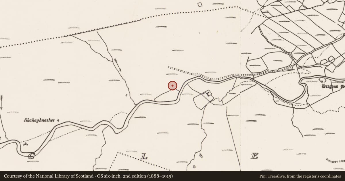
This monument is not shown on the 1838 and 1921 OS 6-inch maps.
A rectangular structure (int. L 4.1m ENE-WSW; Wth c. 1.65m NNW-SSE) defined by stones, some large and set on edge, none rising more than 0.3-0.55m above ground, and built against the rising slope on the N side. Engulfed in heather/bog, it is difficult to examine and interpret. The long axis is aligned more or less ENE-WSW, but for convenience will be described here as if it were E-W.
The W side consists of a heather-covered, inward-facing scarp (H 0.3-0.4m), with a low, rounded stone (H 0.3m; L c. 0.4m NE-SW) and the tip of another stone visible at the SW corner.
The N long side is composed of at least three upright stones, their N sides concealed against the rising slope: At the W end of the N side is a large, slab-like stone (L c. 1m; H 0.55m) set on edge. Abutting the E end of this slab is a blocky stone (H 0.5m; L 0.38m NE-SW) which protrudes c. 0.35-0.4m to S into the interior space; and abutting the E side of the latter, is another slab-like stone (L c. 0.9m; H c. 0.3m). The E end of the N side appears to have been disturbed or cut back slightly; a stone of unknown size protrudes from the heather, seemingly offset to the N from the line of the other stones on the N side.
The E side is defined by two low, rounded stones (max. dim. 0.4-05m; H 0.3-0.45m) flanking a gap (Wth 0.65m), possibly an entrance.
The S long side features a large stone set upright on edge (L c. 1.4m; H 0.4m), positioned roughly mid-way along that side. Flanking it to E and W are linear clumps of heather, which appear to conceal low stones.
A large, upright stone (L c. 0.9m NE-SW; 0.27m NW-SW; H 0.6m), is located 0.8m S of SW corner of the structure.
A row of three close-set, low rounded stones (H 0.1-0.3m; max. dim. 0.2-0.6m) extend to SW from the SE corner of the structure.
There are no roofstones and no obvious sign of a cairn. A rough, E-W heather-covered scarp, a remnant of a field boundary, lies just over 2m to S of the structure, and other relict 18th/19th field banks/walls are nearby at W.
It is difficult to interpret this monument. It may be a vernacular structure, such as a hut site or animal pen, possibly associated with the settlement named Doondragon, shown c. 700m to E on the OS 6-inch maps.
However, the degree to which the stones are sunken in the bog suggests some antiquity. A number of the stones are megalithic in appearance, but others seem rather insubstantial. Currently the evidence is insufficient to classify it as a megalithic tomb, and the overall nature of the structure remains uncertain.
Compiled by: Jane O’Shaughnessy
Nearby in the register
- Standing stone - pairunder 1 mi
- Cairn - unclassifiedunder 1 mi
- Souterrainunder 1 mi
- Ringfort - cashelunder 1 mi
Other entries of the same register within about three miles of this one, by straight line.