Sites and Monuments Record · Ireland
Road - road/trackway
Grange (Smallcounty By.), County Limerick, Ireland
The record
- Townland
- Grange (Smallcounty By.)
- County
- Limerick
- Country
- Ireland
- First-edition OS map
- Not indicated
- Latest-edition OS map
- Not indicated
- Coordinates
- 52.53566, -8.54995
- SMR number
- LI023-241----
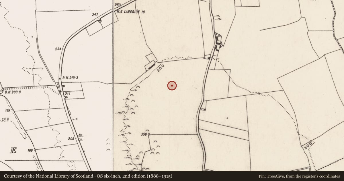
Slide toward Today to fade the historical sheet and see the modern map underneath.
David Rumsey Map Collection, Stanford LibrariesDavid Rumsey Map Collection, Stanford LibrariesDavid Rumsey Map Collection, Stanford LibrariesDavid Rumsey Map Collection, Stanford Libraries
4 historical maps cover this location, the earliest the 1790 map "Composite: Ireland." (David Rumsey Map Collection, Stanford Libraries).
Historical maps covering this location
- 1790 · Composite: Ireland. (David Rumsey Map Collection, Stanford Libraries)
- 1869 · Ireland. (David Rumsey Map Collection, Stanford Libraries)
- 1891 · Ireland 16 (David Rumsey Map Collection, Stanford Libraries)
- 1904 · Sheet 13. (David Rumsey Map Collection, Stanford Libraries)
This record in the National Monuments Service's Historic Environment Viewer ↗
The National Monuments Service's description
On the N side of a ridge with good views N, E and W. Located 30m NE of a ring-barrow (LI023-227----) overlooking the Camoge River 580m to N. Cave site (LI023-240----) 270m to S near the summit of the ridge. The S end of the road/trackway (L c. 250m) is not depicted on 1840 ed. OSi 6-inch map, although the NW end (L c. 250m) still survived as a tree lined road on the 1840 map and as a field boundary on the later OSi 1897 ed. 25-inch map. The road is clearly visible on OSi orthoimage taken 2005-12 and also on aerial photographs (GSIAP AP 4/3665) as a linear road lined on either side by a ditch and fosse (ext. Wth c. 15m). The site is visible on Google Earth orthoimage taken 28/06/2018. The road/trackway appears to be an extension of the 'Cladh na Leac' a historic road (LI032-010001-) that runs along the W side of Lough Gur.
See attached Bruff survey image showing road/trackway and Google Earth orthoimage
Compiled by: Edmond O’Donovan
Date of upload: 31 August 2020
Nearby in the register
- Barrow - ring-barrowunder 1 mi
- Caveunder 1 mi
- Standing stoneunder 1 mi
- Field systemunder 1 mi
Other entries of the same register within about three miles of this one, by straight line.