Sites and Monuments Record · Ireland
Barrow - mound barrow
Knockatancashlane, County Limerick, Ireland
The record
- Townland
- Knockatancashlane
- County
- Limerick
- Country
- Ireland
- First-edition OS map
- Not indicated
- Latest-edition OS map
- Not indicated
- Coordinates
- 52.60569, -8.46877
- SMR number
- LI014-162----
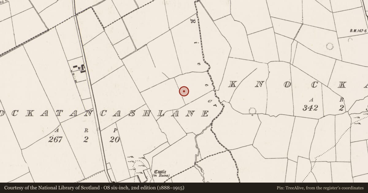
Slide toward Today to fade the historical sheet and see the modern map underneath.
David Rumsey Map Collection, Stanford LibrariesDavid Rumsey Map Collection, Stanford LibrariesDavid Rumsey Map Collection, Stanford LibrariesDavid Rumsey Map Collection, Stanford Libraries
4 historical maps cover this location, the earliest the 1790 map "Composite: Ireland." (David Rumsey Map Collection, Stanford Libraries).
Historical maps covering this location
- 1790 · Composite: Ireland. (David Rumsey Map Collection, Stanford Libraries)
- 1869 · Ireland. (David Rumsey Map Collection, Stanford Libraries)
- 1891 · Ireland 16 (David Rumsey Map Collection, Stanford Libraries)
- 1904 · Sheet 13. (David Rumsey Map Collection, Stanford Libraries)
This record in the National Monuments Service's Historic Environment Viewer ↗
The National Monuments Service's description
One of a cluster of 6 barrows (LI014-163/164/155001/155002/156----) in wetland, located to the immediate SE of large barrow (LI014-155001----). Identified as a possible mound barrow (diam. 11.5m; H 1m) by Melanie McQuaid, archaeologist, Forestry Service, Dept of Agriculture, Food and the Marine in 2016 during site inspection of drains and removal of forestry saplings. Described in 2016 as following; ‘The mound has been cut by one forest drain and at the time of inspection no archaeological material was evident in the drain face or the mounds created from the excavated soil’ (McQuade 2016). The monument is visible on the Digital Globe orthoimage taken 2005-2012 and the Google Earth image taken in 2006 and 2018.
See attached Google earth orthoimages
Compiled by: Fiona Rooney
Date of upload: 3 July 2020
References
McQuade, M. 2016 Unpublished report - Forestry Plantation in the townland of Knockatancashlane, Co. Limerick. Forestry Service Inspectorate, Dept of Agriculture, Food and the Marine.
Nearby in the register
- Enclosureunder 1 mi
- Barrow - ring-barrowunder 1 mi
- Barrow - unclassifiedunder 1 mi
- Barrow - unclassifiedunder 1 mi
Other entries of the same register within about three miles of this one, by straight line.