Sites and Monuments Record · Ireland
Fulacht fia
Newcastle, County Limerick, Ireland
The record
- Townland
- Newcastle
- County
- Limerick
- Country
- Ireland
- First-edition OS map
- Not indicated
- Latest-edition OS map
- Not indicated
- Coordinates
- 52.66504, -8.54765
- SMR number
- LI006-088----
Slide toward Today to fade the historical sheet and see the modern map underneath.
David Rumsey Map Collection, Stanford LibrariesDavid Rumsey Map Collection, Stanford LibrariesDavid Rumsey Map Collection, Stanford LibrariesDavid Rumsey Map Collection, Stanford Libraries
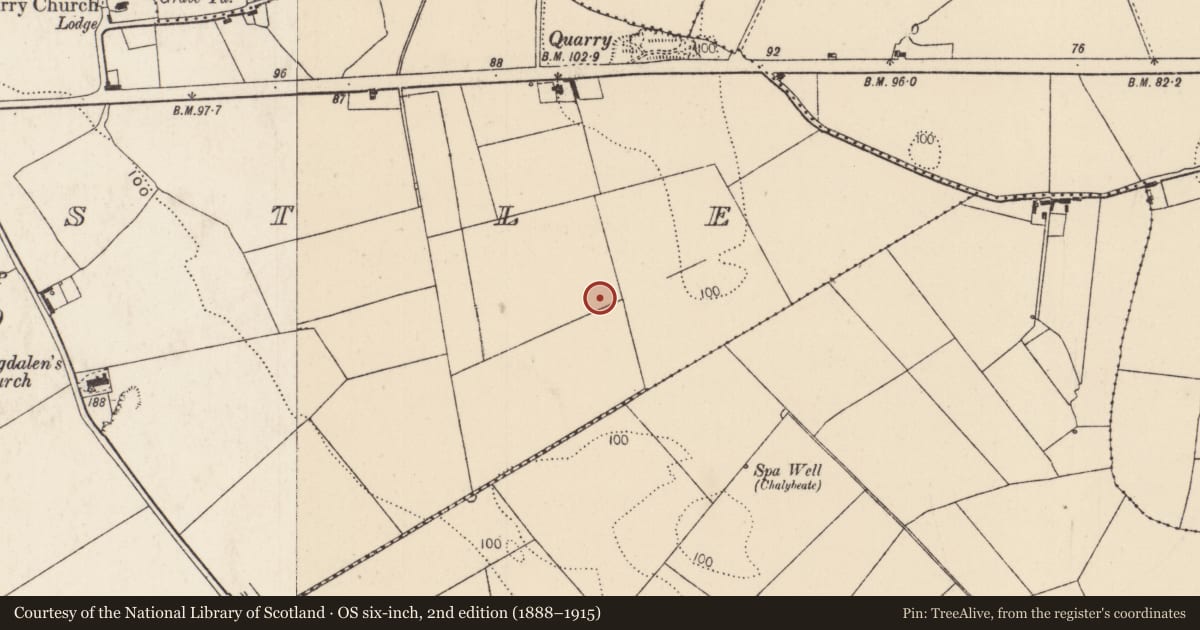
4 historical maps cover this location, the earliest the 1790 map "Composite: Ireland." (David Rumsey Map Collection, Stanford Libraries).
Historical maps covering this location
- 1790 · Composite: Ireland. (David Rumsey Map Collection, Stanford Libraries)
- 1869 · Ireland. (David Rumsey Map Collection, Stanford Libraries)
- 1891 · Ireland 16 (David Rumsey Map Collection, Stanford Libraries)
- 1904 · Sheet 13. (David Rumsey Map Collection, Stanford Libraries)
This record in the National Monuments Service's Historic Environment Viewer ↗
The National Monuments Service's description
At the S end of Carrowkeel Housing development, 320m S of the R445. Not marked on any of the OS maps. Archaeological testing of a mound of archaeological potential was undertaken by Tracy Collins under licence No. 02E1402. The results were summarised as following; ‘Three trenches were dug by machine. It was quickly realised that the mound was a natural feature. However, in the longest trench a spread of stony burnt material was discovered, along with two circular pits, which were also filled with the burnt material. These features were interpreted as the remains of a burnt mound, perhaps a fulacht fiadh, with two associated pits, which may have functioned as troughs’ (www.excavations.ie 2002:1145; Collins 2002). The burnt stone material was recorded for a length of 24m N-S while the associated pits were 1m in diameter.
Compiled by Martin Fitzpatrick
Date upload 15 June 2020
References
Collins, T. 2002 Archaeological Test Trenching Report at Newcastle, Castletroy, County Limerick. Unpublished report (Licence No. 02E1402), submitted by Aegis Archaeology Ltd., on behalf of Kenny Builders Ltd. to National Monument Service, Dúchas.
Nearby in the register
- Graveyardunder 1 mi
- Churchunder 1 mi
- Enclosureunder 1 mi
- Kiln - corn-dryingunder 1 mi
Other entries of the same register within about three miles of this one, by straight line.