Sites and Monuments Record · Ireland
Kiln - corn-drying
Rivers, County Limerick, Ireland
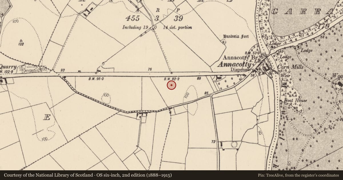
The record
- Townland
- Rivers
- County
- Limerick
- Country
- Ireland
- First-edition OS map
- Not indicated
- Latest-edition OS map
- Not indicated
- Coordinates
- 52.66756, -8.53575
- SMR number
- LI006-094002-
Slide toward Today to fade the historical sheet and see the modern map underneath.
David Rumsey Map Collection, Stanford LibrariesDavid Rumsey Map Collection, Stanford LibrariesDavid Rumsey Map Collection, Stanford LibrariesDavid Rumsey Map Collection, Stanford Libraries
4 historical maps cover this location, the earliest the 1790 map "Composite: Ireland." (David Rumsey Map Collection, Stanford Libraries).
Historical maps covering this location
- 1790 · Composite: Ireland. (David Rumsey Map Collection, Stanford Libraries)
- 1869 · Ireland. (David Rumsey Map Collection, Stanford Libraries)
- 1891 · Ireland 16 (David Rumsey Map Collection, Stanford Libraries)
- 1904 · Sheet 13. (David Rumsey Map Collection, Stanford Libraries)
This record in the National Monuments Service's Historic Environment Viewer ↗
The National Monuments Service's description
Test excavations in 2005 by Cia McConway and Niall Gregory under Licence No. 05E1251 revealed the remains of a possible fulacht fiadh (LI006-094001-), possible kiln corn-drying (LI006-094002-) and other miscellaneous features (LI006-094003-), all of which were located inside an enclosure (LI006-063----) (www.excavations.ie 2005:952; McConway 2008, 237). Examination of the excavation report found that this potential site was actually a feature recorded within the enclosure (LI006-063----). Feature 2 is sub-rectangular in plan (Dims. L 2.02m, W 1.13m) consisting of charcoal rich brown to black clay (McConway and Gregory 2006, 5). This entry has therefore been reclassified as a redundant record as it is only a feature from the interior of an excavated enclosure.
Compiled by: Fiona Rooney
Date of upload: 16 June 2020
References
McConway, C. and Gregory, N. 2006 Archaeological test trenching at Annacotty, Co. Limerick (Licence No. 05E1251). Unpublished report submitted by ADS Ltd. to the National Monuments Service.
McConway, C. and Gregory, N. 2008 Rivers, Annacotty, possible enclosure. In I. Bennett (Ed.) Excavations 2005: summary accounts of archaeological excavations in Ireland, 237 (No. 952). Bray. Wordwell.
Nearby in the register
- Enclosureunder 1 mi
- Ringfort - rathunder 1 mi
- Earthworkunder 1 mi
- Enclosureunder 1 mi
Other entries of the same register within about three miles of this one, by straight line.