Sites and Monuments Record · Ireland
Cross-inscribed stone
Hoathstown, County Louth, Ireland
The record
- Townland
- Hoathstown
- County
- Louth
- Country
- Ireland
- First-edition OS map
- Not indicated
- Latest-edition OS map
- Not indicated
- Coordinates
- 53.84559, -6.49552
- SMR number
- LH017-089002-
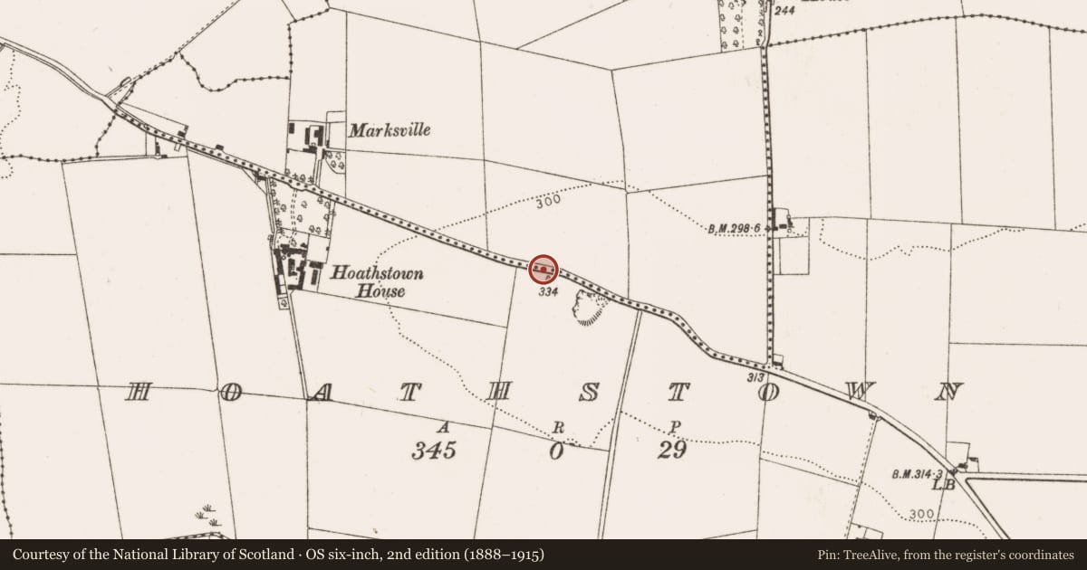
Slide toward Today to fade the historical sheet and see the modern map underneath.
David Rumsey Map Collection, Stanford LibrariesDavid Rumsey Map Collection, Stanford LibrariesDavid Rumsey Map Collection, Stanford LibrariesDavid Rumsey Map Collection, Stanford Libraries
4 historical maps cover this location, the earliest the 1636 map "Vltoniae Orientalis Pars" (David Rumsey Map Collection, Stanford Libraries).
Historical maps covering this location
- 1636 · Vltoniae Orientalis Pars (David Rumsey Map Collection, Stanford Libraries)
- 1799 · Ireland. (David Rumsey Map Collection, Stanford Libraries)
- 1811 · Ireland. (David Rumsey Map Collection, Stanford Libraries)
- 1891 · Ireland 16 (David Rumsey Map Collection, Stanford Libraries)
This record in the National Monuments Service's Historic Environment Viewer ↗
The National Monuments Service's description
The following description is derived from both the published 'Archaeological Inventory of County Louth' (Dublin: Stationery Office, 1986) and the 'Archaeological Survey of County Louth' (Dublin: Stationery Office, 1991). In certain instances the entries have been revised and updated in the light of recent research.
Date of upload/revision: 22 June 2012
Revised by: Claire Breen
Two cross-inscribed stones are situated on top of a high roadside verge between Ardee and Dunleer. One (LH017-089001-) consists of a flat-surfaced stone c. 0.6m high with a small plain cross carved within a circle at its bottom right-hand side. The other (LH017-089002-), which had once been removed to a nearby shop, consists of an irregular slab (0.5m by 0.45m by 0.11m) except for one straight edge. It has a simple inscribed Latin cross and circle which occupy most of its uneven surface. The circle cuts across the arms of the cross which extend outwards and have T-shaped terminals. (CLAJ 1956, 407; PRIA 61C, 118, 121).
Nearby in the register
- Cross-inscribed stoneunder 1 mi
- Ringfort - rathunder 1 mi
- Ringfort - rathunder 1 mi
- Burial groundunder 1 mi
Other entries of the same register within about three miles of this one, by straight line.