Sites and Monuments Record · Ireland
Enclosure
Drumcashel, County Louth, Ireland
The record
- Townland
- Drumcashel
- County
- Louth
- Country
- Ireland
- First-edition OS map
- Not indicated
- Latest-edition OS map
- Not indicated
- Coordinates
- 53.87423, -6.46713
- SMR number
- LH014-101001-
Slide toward Today to fade the historical sheet and see the modern map underneath.
David Rumsey Map Collection, Stanford LibrariesDavid Rumsey Map Collection, Stanford LibrariesDavid Rumsey Map Collection, Stanford LibrariesDavid Rumsey Map Collection, Stanford Libraries
4 historical maps cover this location, the earliest the 1636 map "Vltoniae Orientalis Pars" (David Rumsey Map Collection, Stanford Libraries).
Historical maps covering this location
- 1636 · Vltoniae Orientalis Pars (David Rumsey Map Collection, Stanford Libraries)
- 1799 · Ireland. (David Rumsey Map Collection, Stanford Libraries)
- 1811 · Ireland. (David Rumsey Map Collection, Stanford Libraries)
- 1891 · Ireland 16 (David Rumsey Map Collection, Stanford Libraries)
This record in the National Monuments Service's Historic Environment Viewer ↗
The National Monuments Service's description
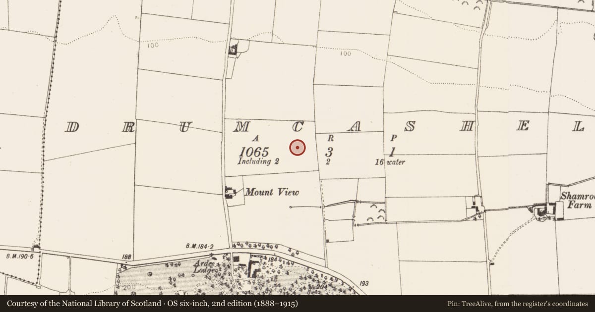
Located on a N-facing slope overlooking the valley of the W-E Glyde River, and clearly visible on Google Earth (21/07/2021). The cropmark perimeter of a large crescent-shaped enclosure (Wth c. 10-20m) is attached outside the defining fosse of the large enclosure (LH014-101----) SW-N-NE, from where another drain curves out to the N and E (Chord E-W c. 65m). The long ditches of a rectangular enclosure or field (dims c. 90m N-S; c. 35-55m E-W) are attached to the perimeter of the large enclosure N-NE, largely removing the boundary of the crescent-shaped enclosure. This field fits into a corner of one of the regular rectangular fields recorded on the 1907 edition of the OS 6-inch map, the cropmarks of which can also be seen on the Google image. The enclosures can also be seen faintly on Digital Globe images (2011-13), and they were first reported by Anthony Murphy.
See the attached enhanced view from Google Earth (21/07/2021)
Compiled by: Michael Moore
Date of upload: 31 August 2021
Nearby in the register
- Enclosure - large enclosureunder 1 mi
- Enclosureunder 1 mi
- Castle - motteunder 1 mi
- Enclosure - large enclosureunder 1 mi
Other entries of the same register within about three miles of this one, by straight line.