Sites and Monuments Record · Ireland
Enclosure
Grange Irish, County Louth, Ireland
The record
- Townland
- Grange Irish
- County
- Louth
- Country
- Ireland
- First-edition OS map
- NULL
- Latest-edition OS map
- Indicated
- Coordinates
- 54.01791, -6.20082
- SMR number
- LH008-115----
Slide toward Today to fade the historical sheet and see the modern map underneath.
David Rumsey Map Collection, Stanford LibrariesDavid Rumsey Map Collection, Stanford LibrariesDavid Rumsey Map Collection, Stanford LibrariesDavid Rumsey Map Collection, Stanford Libraries
4 historical maps cover this location, the earliest the 1636 map "Vltoniae Orientalis Pars" (David Rumsey Map Collection, Stanford Libraries).
Historical maps covering this location
- 1636 · Vltoniae Orientalis Pars (David Rumsey Map Collection, Stanford Libraries)
- 1799 · Ireland. (David Rumsey Map Collection, Stanford Libraries)
- 1811 · Ireland. (David Rumsey Map Collection, Stanford Libraries)
- 1891 · Ireland 16 (David Rumsey Map Collection, Stanford Libraries)
This record in the National Monuments Service's Historic Environment Viewer ↗
The National Monuments Service's description
Aerial photograph (GB90.BZ.10) shows an irregular curvilinear enclosure defined by a bank probably constructed of stones and/or earth. It is a well preserved earthwork.
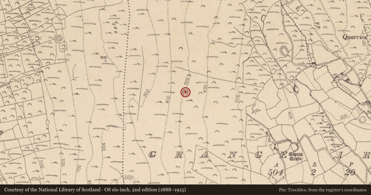
Marked as a small field enclosure on OS 6-inch map. It may be a sheep fold.
Located in rough terrain on a terrace in a South- facing slope overlooking Carlingford Lough. It is in rock strewn area but the site is relatively clear of them. Comprises a low, dry stone built wall ( (Wth 0.80m, H. 0.40m, ) which encloses a roughly sub-rectangular, uneven area ( L c.70m, Wth c.37m). In some areas of the enclosing wall large boulders have been placed on their edge. This is best defined in the W and N but is loosely defined by irregularly spaced boulders in the East. This has more the appearance of a small field than enclosure. The forest to the East of the site has been recently, partly clear-felled.
Compiled by: Dr Gillian Barrett for the Archaeological Survey of Ireland and Dr. Geraldine Stout.
Date of upload: 26 May 2010
Nearby in the register
- Ringfort - rathunder 1 mi
- Megalithic tomb - court tombunder 1 mi
- Megalithic tomb - unclassifiedunder 1 mi
- Enclosureunder 1 mi
Other entries of the same register within about three miles of this one, by straight line.