Sites and Monuments Record · Ireland
Ringfort - rath
Cartronawar (Ardagh By.), County Longford, Ireland
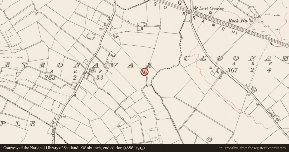
The record
- Townland
- Cartronawar (Ardagh By.)
- County
- Longford
- Country
- Ireland
- First-edition OS map
- Fort
- Latest-edition OS map
- Hachured
- Coordinates
- 53.70314, -7.71896
- SMR number
- LF014-094----
Slide toward Today to fade the historical sheet and see the modern map underneath.
David Rumsey Map Collection, Stanford LibrariesDavid Rumsey Map Collection, Stanford LibrariesDavid Rumsey Map Collection, Stanford LibrariesDavid Rumsey Map Collection, Stanford Libraries
4 historical maps cover this location, the earliest the 1790 map "Composite: Ireland." (David Rumsey Map Collection, Stanford Libraries).
Historical maps covering this location
- 1790 · Composite: Ireland. (David Rumsey Map Collection, Stanford Libraries)
- 1811 · Ireland. (David Rumsey Map Collection, Stanford Libraries)
- 1869 · Ireland. (David Rumsey Map Collection, Stanford Libraries)
- 1891 · Ireland 16 (David Rumsey Map Collection, Stanford Libraries)
This record in the National Monuments Service's Historic Environment Viewer ↗
The National Monuments Service's description
In level pasture. A raised oval area (32.2m WNW-ESE; 25.1m NNE-SSW) enclosed by a low bank of earth and stone (Wth 5m; H 0.1-0.7m) with an external fosse (Wth 3.8m; D 0.4m). From NE-S-WSW the bank has been levelled and the fosse infilled due to land reclamation. A report in 1975 (SMR file) recorded that the entrance was at E. It is no longer identifiable. The rath is densely overgrown with scrub rendering satisfactory inspection impossible.
Compiled by: Patrick F. O'Donovan
Date of upload: 28 November 2011
Nearby in the register
- Ringfort - rathunder 1 mi
- Ringfort - rathunder 1 mi
- Churchunder 1 mi
- Ecclesiastical enclosureunder 1 mi
Other entries of the same register within about three miles of this one, by straight line.