Sites and Monuments Record · Ireland
Road - unclassified togher
Annagh (Longford By.), County Longford, Ireland
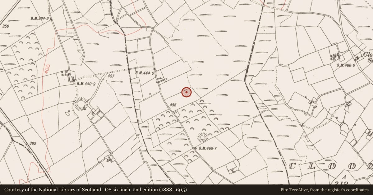
The record
- Townland
- Annagh (Longford By.)
- County
- Longford
- Country
- Ireland
- First-edition OS map
- Not indicated
- Latest-edition OS map
- Not indicated
- Coordinates
- 53.86917, -7.65932
- SMR number
- LF002-018----
Slide toward Today to fade the historical sheet and see the modern map underneath.
David Rumsey Map Collection, Stanford LibrariesDavid Rumsey Map Collection, Stanford LibrariesDavid Rumsey Map Collection, Stanford LibrariesDavid Rumsey Map Collection, Stanford Libraries
4 historical maps cover this location, the earliest the 1790 map "Composite: Ireland." (David Rumsey Map Collection, Stanford Libraries).
Historical maps covering this location
- 1790 · Composite: Ireland. (David Rumsey Map Collection, Stanford Libraries)
- 1811 · Ireland. (David Rumsey Map Collection, Stanford Libraries)
- 1869 · Ireland. (David Rumsey Map Collection, Stanford Libraries)
- 1891 · Ireland 16 (David Rumsey Map Collection, Stanford Libraries)
This record in the National Monuments Service's Historic Environment Viewer ↗
The National Monuments Service's description
In a narrow bog with dryland areas to the W and E. A timber road (L 30m), noted in 1985 below the bog surface (D 0.91m), reportedly linked raths in Corrinagh (LF002-013----) and Cloonbrack (LF002-015----) townlands. It was not identified during an inspection in 1998 (SMR file: data supplied by the former Irish Archaeological Wetland Unit, University College, Dublin.)
In 2023, a togher was also reported in this bog – see LF002-023----. The lands had changed hands and the new landowner had been made aware of the presence of a togher by the previous owner who, in 1985, had informed the National Museum of Ireland of the togher. It was subsequently designated LF002-018----. While it is possible that two toghers once crossed this bog, the recent discovery of a ‘second’ togher suggests that the location of the previously reported togher (LF002-018----) should be re-examined for accuracy.
Entry updated by: Gearóid Conroy
Date of update: 26 July 2023
Nearby in the register
- Ringfort - rathunder 1 mi
- Ringfort - rathunder 1 mi
- Road - class 3 togherunder 1 mi
- Ringfort - rathunder 1 mi
Other entries of the same register within about three miles of this one, by straight line.