Sites and Monuments Record · Ireland
Kiln
Aghamore (Mohill By., Roosky ED), County Leitrim, Ireland
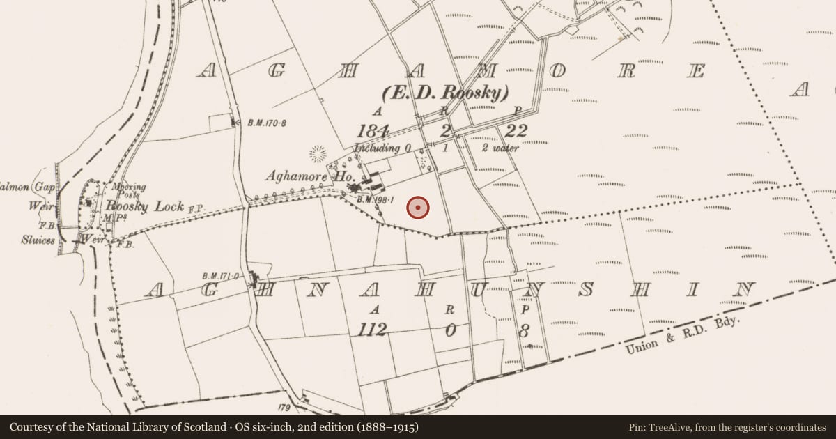
The record
- Townland
- Aghamore (Mohill By., Roosky ED)
- County
- Leitrim
- Country
- Ireland
- First-edition OS map
- Not indicated
- Latest-edition OS map
- Not indicated
- Coordinates
- 53.82534, -7.90975
- SMR number
- LE037-016007-
Slide toward Today to fade the historical sheet and see the modern map underneath.
David Rumsey Map Collection, Stanford LibrariesDavid Rumsey Map Collection, Stanford LibrariesDavid Rumsey Map Collection, Stanford LibrariesDavid Rumsey Map Collection, Stanford Libraries
4 historical maps cover this location, the earliest the 1790 map "Composite: Ireland." (David Rumsey Map Collection, Stanford Libraries).
Historical maps covering this location
- 1790 · Composite: Ireland. (David Rumsey Map Collection, Stanford Libraries)
- 1811 · Ireland. (David Rumsey Map Collection, Stanford Libraries)
- 1869 · Ireland. (David Rumsey Map Collection, Stanford Libraries)
- 1891 · Ireland 16 (David Rumsey Map Collection, Stanford Libraries)
This record in the National Monuments Service's Historic Environment Viewer ↗
The National Monuments Service's description
Situated at the bottom a gentle E-facing slope and at the edge of a raised peat bog that extends off to the E and S. First identified in centre-line testing (05E0983) for a new line of the N4 (O’Connor et al. 2005, 42), and later fully excavated (E003310) as a part of Aghamore 2. Excavation recorded five spreads of burnt mound material, other smaller spreads and two kilns. A section (L 2.8m; Wth 0.3m) of the stone-lined flue of this kiln was excavated. It had an oxidized base with five fills of varying degrees of burning. Kiln (LE037-016006-) was just to the NE. (McGowan and O’Connor 2009, 21)
Compiled by: Michael Moore
Date of upload: 9 January 2020
O’Connor, D. J., Marta Muniz Pérez and Sheelagh Conran 2005 N4 Dromod-Roosky Bypass. Advance Archaeological Works Contract Licence No. 05E0983 Preliminary Report. Unpublished, CRDS
References
McGowan, L. and O’Connor, D. J. 2009 N4 Dromod – Roosky Bypass. Advance Archaeological Works Contract. Aghamore 2. Ministerial Direction A 31 (A31-021/E003310) Final Report, Unpublished, CRDS
Nearby in the register
- Kilnunder 1 mi
- Fulacht fiaunder 1 mi
- Fulacht fiaunder 1 mi
- Burnt moundunder 1 mi
Other entries of the same register within about three miles of this one, by straight line.