Sites and Monuments Record · Ireland
Graveslab
Cartronatemple, County Leitrim, Ireland
The record
- Townland
- Cartronatemple
- County
- Leitrim
- Country
- Ireland
- First-edition OS map
- Not inidcated
- Latest-edition OS map
- Not indicated
- Coordinates
- 54.33824, -8.19938
- SMR number
- LE007-018004-
Slide toward Today to fade the historical sheet and see the modern map underneath.
David Rumsey Map Collection, Stanford LibrariesDavid Rumsey Map Collection, Stanford LibrariesDavid Rumsey Map Collection, Stanford LibrariesDavid Rumsey Map Collection, Stanford Libraries
4 historical maps cover this location, the earliest the 1869 map "Ireland." (David Rumsey Map Collection, Stanford Libraries).
Historical maps covering this location
- 1869 · Ireland. (David Rumsey Map Collection, Stanford Libraries)
- 1891 · Ireland 16 (David Rumsey Map Collection, Stanford Libraries)
- 1904 · Sheet 4. (David Rumsey Map Collection, Stanford Libraries)
- 1922 · Ireland - northern section. (David Rumsey Map Collection, Stanford Libraries)
This record in the National Monuments Service's Historic Environment Viewer ↗
The National Monuments Service's description
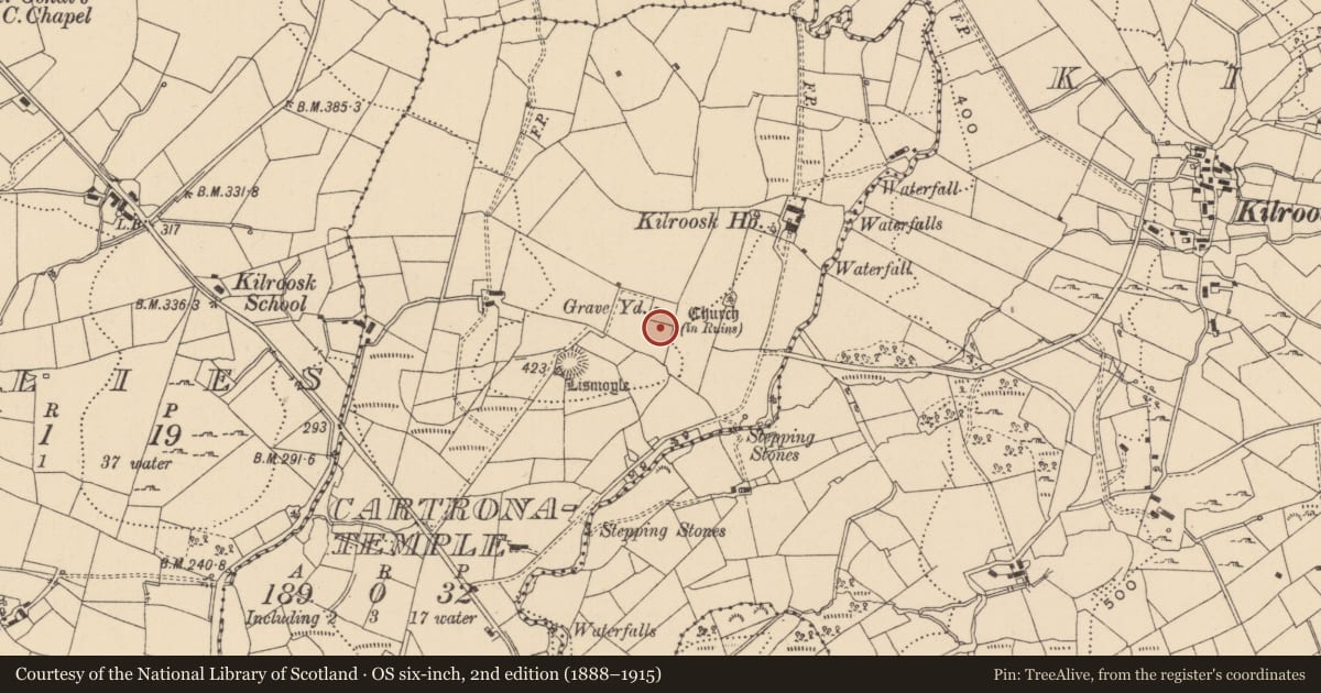
There is a record of a stone with the carving of an animal called 'Dobhar Chu' (Tohall 1948, 127-9) in Kilroosk graveyard (LE007-018002-), which has many folk tales associated with it, but the stone has been missing since c. 1918. (Ruickbie 2016, 52)
Compiled by: Michael Moore
Date of upload: 25 January, 2016
Amended 24 June 2019
References
Ruickbie, L. 2016 The Impossible Zoo. Robinson, London
Tohall, P. 1948 The Dobhar-Chu tombstones of Glenade, Co. Leitrim. (Cemeteries of Congbhail and Cill-Ruisc). Journal of the Royal Society of Antiquaries of Ireland 78, 127-9.
Nearby in the register
- Graveyardunder 1 mi
- Churchunder 1 mi
- Bullaun stoneunder 1 mi
- Ringfort - rathunder 1 mi
Other entries of the same register within about three miles of this one, by straight line.