Sites and Monuments Record · Ireland
Cross-slab
Kyle (Clandonagh By.), County Laois, Ireland
The record
- Townland
- Kyle (Clandonagh By.)
- County
- Laois
- Country
- Ireland
- First-edition OS map
- Not indicated
- Latest-edition OS map
- Not indicated
- Coordinates
- 52.96164, -7.65360
- SMR number
- LA015-023010-
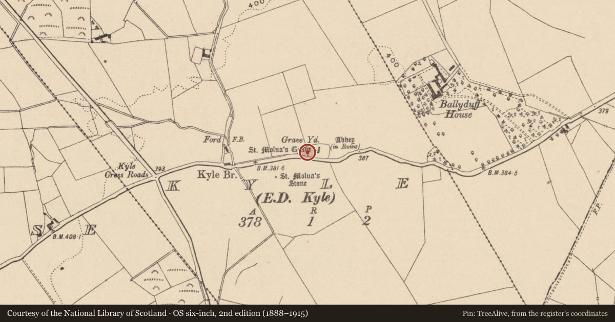
Slide toward Today to fade the historical sheet and see the modern map underneath.
David Rumsey Map Collection, Stanford LibrariesDavid Rumsey Map Collection, Stanford LibrariesDavid Rumsey Map Collection, Stanford LibrariesDavid Rumsey Map Collection, Stanford Libraries
4 historical maps cover this location, the earliest the 1790 map "Composite: Ireland." (David Rumsey Map Collection, Stanford Libraries).
Historical maps covering this location
- 1790 · Composite: Ireland. (David Rumsey Map Collection, Stanford Libraries)
- 1811 · Ireland. (David Rumsey Map Collection, Stanford Libraries)
- 1869 · Ireland. (David Rumsey Map Collection, Stanford Libraries)
- 1891 · Ireland 16 (David Rumsey Map Collection, Stanford Libraries)
This record in the National Monuments Service's Historic Environment Viewer ↗
The National Monuments Service's description
Located in S quadrant of Kyle graveyard (LA015-023002-) a few meters N of a cross-slab (LA015-023009-). Small semi-circular shaped slab (Wth 0.17m; T 0.02m) protruding above surface of graveyard with fragment of inscribed cross with T-shaped terminal partially visible on face of slab. The semi-circular shape of the slab may suggest that this stone was used as a grave marker or simple headstone of post-medieval date with simple cross-inscribed onto face of slab. Alternatively it may be the remains of a cross-slab of Early Christian date.
Attached image uploaded courtesy of Gary Dempsey.
Compiled by: Caimin O'Brien
Date of upload: 10 September 2015
Nearby in the register
- Cross-slabunder 1 mi
- Sarcophagusunder 1 mi
- Cross-slabunder 1 mi
- Graveyardunder 1 mi
Other entries of the same register within about three miles of this one, by straight line.