Sites and Monuments Record · Ireland
Sarcophagus
Kyle (Clandonagh By.), County Laois, Ireland
The record
- Townland
- Kyle (Clandonagh By.)
- County
- Laois
- Country
- Ireland
- Coordinates
- 52.96171, -7.65281
- SMR number
- LA015-023008-
Slide toward Today to fade the historical sheet and see the modern map underneath.
David Rumsey Map Collection, Stanford LibrariesDavid Rumsey Map Collection, Stanford LibrariesDavid Rumsey Map Collection, Stanford LibrariesDavid Rumsey Map Collection, Stanford Libraries
4 historical maps cover this location, the earliest the 1790 map "Composite: Ireland." (David Rumsey Map Collection, Stanford Libraries).
Historical maps covering this location
- 1790 · Composite: Ireland. (David Rumsey Map Collection, Stanford Libraries)
- 1811 · Ireland. (David Rumsey Map Collection, Stanford Libraries)
- 1869 · Ireland. (David Rumsey Map Collection, Stanford Libraries)
- 1891 · Ireland 16 (David Rumsey Map Collection, Stanford Libraries)
This record in the National Monuments Service's Historic Environment Viewer ↗
The National Monuments Service's description
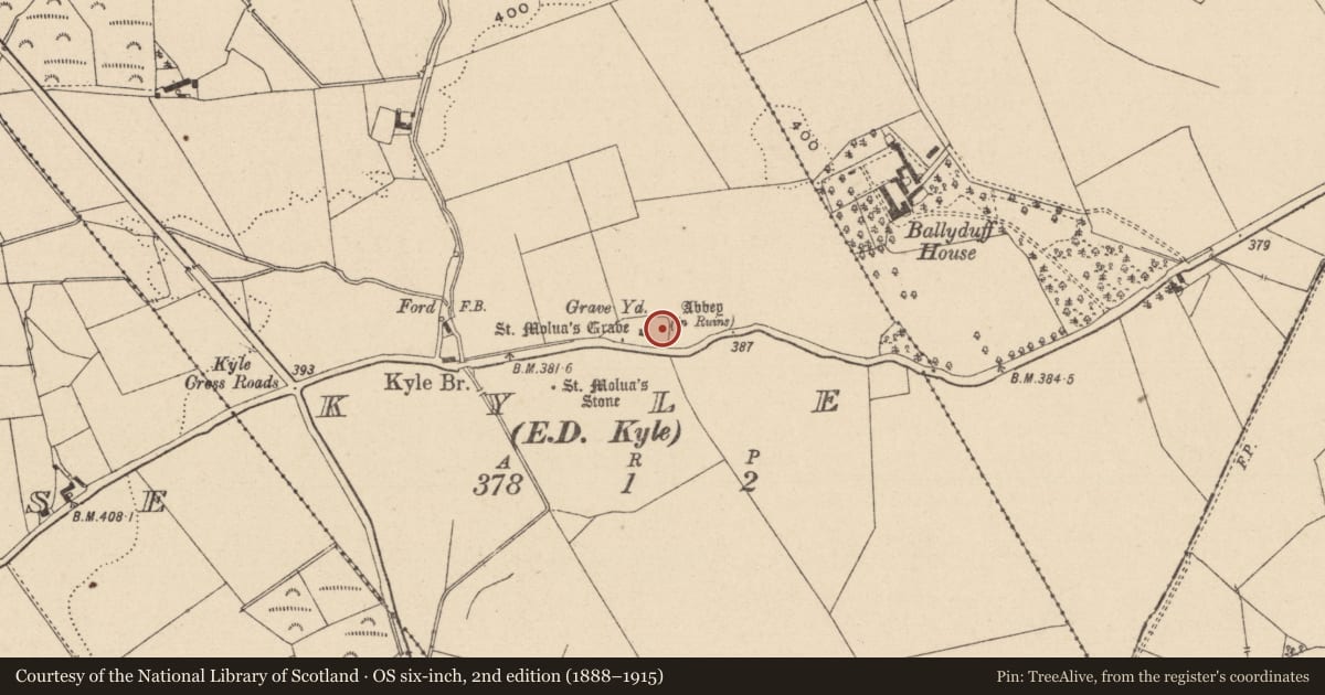
In the 19th century there was a stone known as St. Molua's Trough at the E end of the graveyard (LA015-023002-) under a hawthorn tree that was festooned with rags. Today the trough, stands mounted in concrete in the yard of the modern Catholic church in Ballaghmore village (LA015-033) and the sacred tree no longer survives. The rectangular sandstone trough (L 0.95m x 0.48m x 0.40m; T 0.13m) has a lip running around the inner edge of the top of the trough maybe to accommodate a lid for the trough. This stone may have been a saints reliquary.
Compiled by: Caimin O'Brien
Date of upload: 17 December 2007
Nearby in the register
- Churchunder 1 mi
- Architectural fragmentunder 1 mi
- Ecclesiastical enclosureunder 1 mi
- Graveyardunder 1 mi
Other entries of the same register within about three miles of this one, by straight line.