Sites and Monuments Record · Ireland
Fulacht fia
Baysrath (Knocktopher By.), County Kilkenny, Ireland
The record
- Townland
- Baysrath (Knocktopher By.)
- County
- Kilkenny
- Country
- Ireland
- First-edition OS map
- Not indicated
- Latest-edition OS map
- Not indicated
- Coordinates
- 52.49122, -7.23996
- SMR number
- KK031-093----
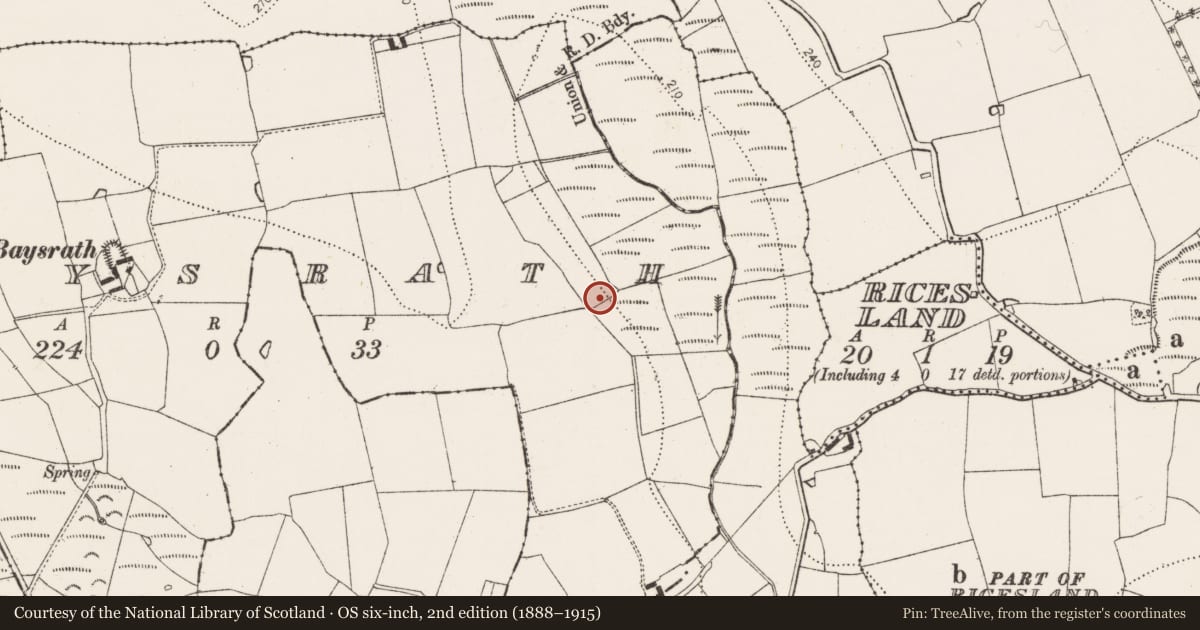
Slide toward Today to fade the historical sheet and see the modern map underneath.
David Rumsey Map Collection, Stanford LibrariesUniversity Library, Vrije Universiteit AmsterdamDavid Rumsey Map Collection, Stanford LibrariesDavid Rumsey Map Collection, Stanford Libraries
4 historical maps cover this location, the earliest the 1790 map "Composite: Ireland." (David Rumsey Map Collection, Stanford Libraries).
Historical maps covering this location
- 1790 · Composite: Ireland. (David Rumsey Map Collection, Stanford Libraries)
- 1869 · Ireland. (David Rumsey Map Collection, Stanford Libraries)
- 1891 · Ireland 16 (David Rumsey Map Collection, Stanford Libraries)
- 1911 · Sheet 14, 1911 (University Library, Vrije Universiteit Amsterdam)
This record in the National Monuments Service's Historic Environment Viewer ↗
The National Monuments Service's description
On marginal land between bog to the NE and rising pasture to the SW. Excavated in 2007 in advance of the N9/N10 Kilcullen to Waterford road scheme (Licence no. E3628). A fulacht fia consisting of a mound (c. 15m N-S; 15m E-W; D 0.15-0.53m) of heat-fractured stones and charcoal-rich clay. There were two well-defined troughs. One (1.64m E-W; 1.1m N-S; D 0.25m) had six stake-holes at the four corners (two at SW and NW) possibly representing a lining around the inside edge. Only part of the SW edge of the second trough survived. Four irregular pits were all filled with heat-fractured stone and charcoal-rich clays. A sample of hazel charcoal from the mound yielded a radiocarbon date of 1125-938 cal BC (UBA-15542). A sample from a stake-hole was dated to 1025-903 cal BC (UBA-10986). The mound and associated features extended beyond the limits of the excavation. A large ceremonial and habitation site (KK031-075---- to KK031-088----) lies 200m to the SW. (Walsh 2010, 234-5, no. 883; Walsh 2012)
Compiled by: Mary Tunney
Date of upload: 11 November 2013
References
Walsh, F. 2012 N9/N10 Kilcullen to Waterford Scheme, Phase 4 – Knocktopher to Powerstown. E3628 Baysrath 3. Final report. Unpublished report submitted to the National Monuments Service, Department of Arts, Heritage and the Gaeltacht, Dublin.
Walsh, F. 2010 AR056, Baysrath. In I. Bennett (ed.), Excavations 2007: summary accounts of archaeological excavations in Ireland, 234-5 no. 883. Bray. Wordwell.
Nearby in the register
- Road - road/trackwayunder 1 mi
- Excavation - miscellaneousunder 1 mi
- Burial groundunder 1 mi
- Ring-ditchunder 1 mi
Other entries of the same register within about three miles of this one, by straight line.