Sites and Monuments Record · Ireland
Graveslab
Kilree (Kells By.), County Kilkenny, Ireland
The record
- Townland
- Kilree (Kells By.)
- County
- Kilkenny
- Country
- Ireland
- First-edition OS map
- Not indicated
- Latest-edition OS map
- Not indicated
- Coordinates
- 52.51816, -7.26841
- SMR number
- KK027-044008-
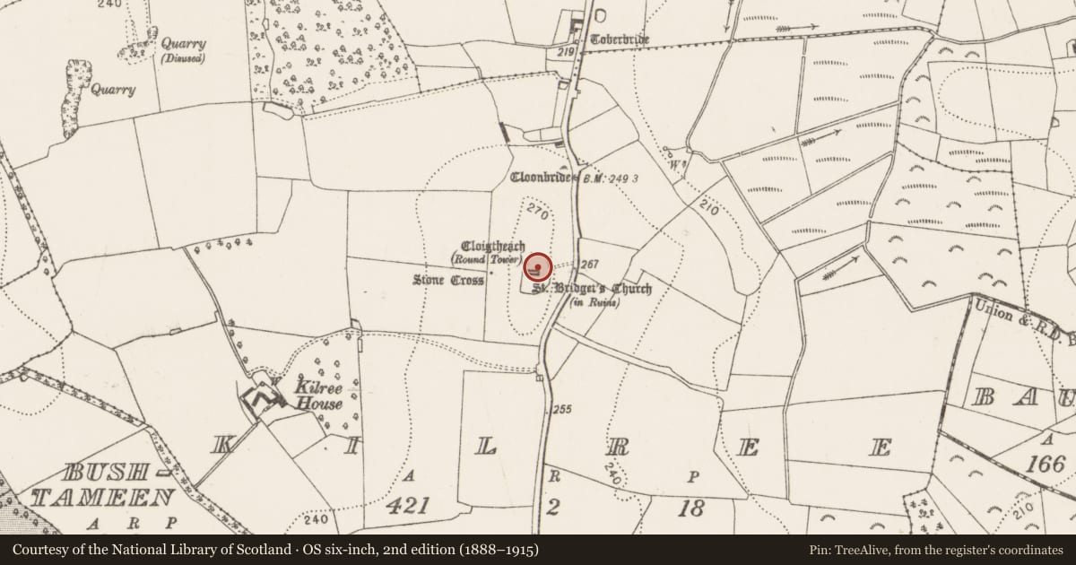
Slide toward Today to fade the historical sheet and see the modern map underneath.
David Rumsey Map Collection, Stanford LibrariesDavid Rumsey Map Collection, Stanford LibrariesDavid Rumsey Map Collection, Stanford LibrariesDavid Rumsey Map Collection, Stanford Libraries
4 historical maps cover this location, the earliest the 1790 map "Composite: Ireland." (David Rumsey Map Collection, Stanford Libraries).
Historical maps covering this location
- 1790 · Composite: Ireland. (David Rumsey Map Collection, Stanford Libraries)
- 1869 · Ireland. (David Rumsey Map Collection, Stanford Libraries)
- 1882 · Ireland (southern half). (David Rumsey Map Collection, Stanford Libraries)
- 1891 · Ireland 16 (David Rumsey Map Collection, Stanford Libraries)
This record in the National Monuments Service's Historic Environment Viewer ↗
The National Monuments Service's description
In the NE angle of the chancel of St. Bridget’s church (KK027-044001-), Kilree. A rectangular limestone slab (Wth 0.74m; L 2.12m; T 0.12m to ground) with straight sides, decorated with a seven-armed floriated cross in raised relief. There is a three-barred knop below the cross-head and the cross-shaft is banded, the shaft rises from a curving calvary mount. The latin inscription, in a margin around the edge of the top, is in black letter script. It starts in the top sinister side with a date of 1534 in the lower sinister corner. The inscription appears to continue on the lower dexter side and on the top sinister side (I H S) but is very faint. Carrigan (1905, vol. 4, 47), transcribes it as: I. H. S. Hic jacet Thomas Howling quo[n]d[am] Dns de Kilri A˚.D. M˚CCCCCłłłıııi ri die Me[n]s[is] Maii and translates it as: Here lies Thomas Howling, lord of Kilri, the 11th day of the month of May, A.D. 1534.
Compiled by: Jean Farrelly
Date of revised upload: 5 October 2016
References
Cockerham. P. and Harris, L. 2001 Kilkenny funeral monuments 1500-1600: a statistical and analytical account. Proceedings of the Royal Irish Academy 101C, 135-88.
Carrigan, Rev. W. 1905 (Reprint 1981) The history and antiquities of the diocese of Ossory, 4 vols. Kilkenny. Roberts Books and Wellbrook Press.
Nearby in the register
- Graveslabunder 1 mi
- Tomb - chest tombunder 1 mi
- Churchunder 1 mi
- Graveyardunder 1 mi
Other entries of the same register within about three miles of this one, by straight line.