Sites and Monuments Record · Ireland
Graveslab
Gowran, County Kilkenny, Ireland
The record
- Townland
- Gowran
- County
- Kilkenny
- Country
- Ireland
- First-edition OS map
- Not indicated
- Latest-edition OS map
- Not indicated
- Coordinates
- 52.62889, -7.06487
- SMR number
- KK020-060008-
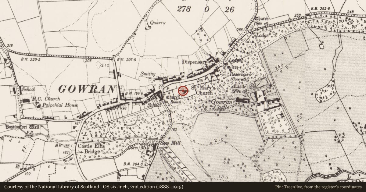
Slide toward Today to fade the historical sheet and see the modern map underneath.
David Rumsey Map Collection, Stanford LibrariesUniversity Library, Vrije Universiteit AmsterdamDavid Rumsey Map Collection, Stanford LibrariesDavid Rumsey Map Collection, Stanford Libraries
4 historical maps cover this location, the earliest the 1790 map "Composite: Ireland." (David Rumsey Map Collection, Stanford Libraries).
Historical maps covering this location
- 1790 · Composite: Ireland. (David Rumsey Map Collection, Stanford Libraries)
- 1869 · Ireland. (David Rumsey Map Collection, Stanford Libraries)
- 1891 · Ireland 16 (David Rumsey Map Collection, Stanford Libraries)
- 1904 · Sheet 14, 1904 (University Library, Vrije Universiteit Amsterdam)
This record in the National Monuments Service's Historic Environment Viewer ↗
The National Monuments Service's description
Fixed S of the tower, to the internal W wall of a 19th-century C of I church which was built on the former chancel of the 13th-century church of St Mary’s (KK020-060006-) in Gowran. A limestone graveslab (L 2.35m; Wth 0.89m; T 0.16m) which is decorated with a seven-armed segmental floriated cross in false relief within a recessed panel. There is a three bar knop at the base of the cross-head. The shaft rests on a stepped Calvary mount. There is an illegible inscription, which appears to have been deliberately defaced, along the base and dexter margin of the slab which continues in two lines across the face of the slab below the barred knop with the date 1686 beneath it. Beneath this in English capitals there is a later inscription in three lines across the slab with the date 1696 below this. Carrigan (1905, vol. 3, 404) was unable to read the earlier inscription but transcribed the later one as, ‘CHARLES AGAR BURGES DEPARTED THIS LIFE THE 14TH DAY OF FEBRUARY 1696’. Listed by Cockerham (2009, 363).
Compiled by: Jean Farrelly
Date of upload: 19 August 2019
References
Carrigan, Rev. W. 1905 (Reprint 1981) The history and antiquities of the diocese of Ossory, 4 vols. Kilkenny. Roberts Books and Wellbrook Press.
Cockerham, P. 2009 My body to be buried in my owne monument: the social and religious context of Co. Kilkenny funeral monuments, 1600-1700. Proceedings of the Royal Irish Academy 109C, 239-365.
Nearby in the register
- Churchunder 1 mi
- Ogham stoneunder 1 mi
- Graveslabunder 1 mi
- Graveslabunder 1 mi
Other entries of the same register within about three miles of this one, by straight line.