Sites and Monuments Record · Ireland
Graveslab
Gowran, County Kilkenny, Ireland
The record
- Townland
- Gowran
- County
- Kilkenny
- Country
- Ireland
- First-edition OS map
- Not indicated
- Latest-edition OS map
- Not indicated
- Coordinates
- 52.62892, -7.06481
- SMR number
- KK020-060045-
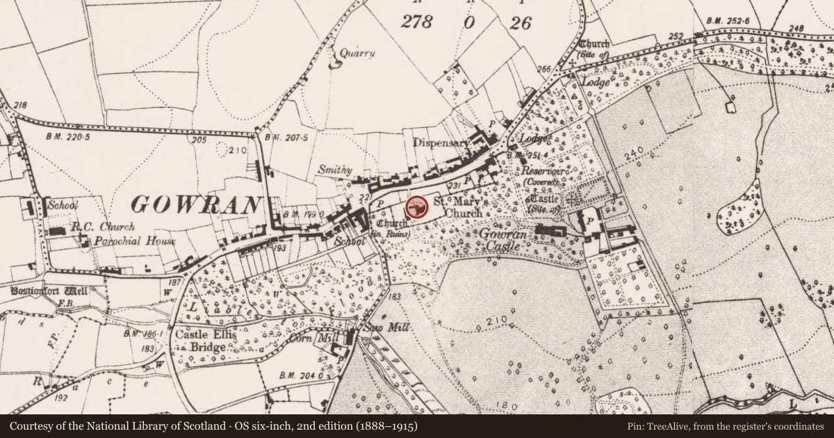
Slide toward Today to fade the historical sheet and see the modern map underneath.
David Rumsey Map Collection, Stanford LibrariesUniversity Library, Vrije Universiteit AmsterdamDavid Rumsey Map Collection, Stanford LibrariesDavid Rumsey Map Collection, Stanford Libraries
4 historical maps cover this location, the earliest the 1790 map "Composite: Ireland." (David Rumsey Map Collection, Stanford Libraries).
Historical maps covering this location
- 1790 · Composite: Ireland. (David Rumsey Map Collection, Stanford Libraries)
- 1869 · Ireland. (David Rumsey Map Collection, Stanford Libraries)
- 1891 · Ireland 16 (David Rumsey Map Collection, Stanford Libraries)
- 1904 · Sheet 14, 1904 (University Library, Vrije Universiteit Amsterdam)
This record in the National Monuments Service's Historic Environment Viewer ↗
The National Monuments Service's description
Fixed to the internal W wall, on the N side, of a 19th-century C of I church which was built on the former chancel of the 13th-century church of St Mary’s (KK020-060006-) in Gowran. A limestone graveslab (L 0.87m; Wth 0.55m) with an incised inscription in Roman capitals, in English, across the surface. It reads: HEARE LIETH THE BODY OF SUSANNA WIFE OF JAMES AGAR OF GAWRAN ESQᴿ AND DAUGHTER TO JAMES ALEXANDER GENT WHO DIED THE 24TH DAY OF MARCH 1696.
Compiled by: Jean Farrelly
Date of upload: 19 August 2019
Nearby in the register
Other entries of the same register within about three miles of this one, by straight line.