Sites and Monuments Record · Ireland
Excavation - miscellaneous
Gardens (Kilkenny City By., St. Mary’s Par.), County Kilkenny, Ireland
The record
- Townland
- Gardens (Kilkenny City By., St. Mary’s Par.)
- County
- Kilkenny
- Country
- Ireland
- First-edition OS map
- Not indicated
- Latest-edition OS map
- Not indicated
- Coordinates
- 52.65060, -7.25285
- SMR number
- KK019-026212-
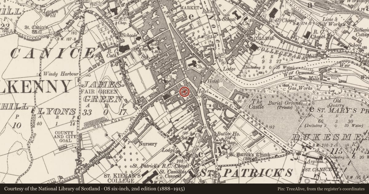
Slide toward Today to fade the historical sheet and see the modern map underneath.
David Rumsey Map Collection, Stanford LibrariesUniversity Library, Vrije Universiteit AmsterdamDavid Rumsey Map Collection, Stanford LibrariesDavid Rumsey Map Collection, Stanford Libraries
4 historical maps cover this location, the earliest the 1790 map "Composite: Ireland." (David Rumsey Map Collection, Stanford Libraries).
Historical maps covering this location
- 1790 · Composite: Ireland. (David Rumsey Map Collection, Stanford Libraries)
- 1869 · Ireland. (David Rumsey Map Collection, Stanford Libraries)
- 1891 · Ireland 16 (David Rumsey Map Collection, Stanford Libraries)
- 1911 · Sheet 14, 1911 (University Library, Vrije Universiteit Amsterdam)
This record in the National Monuments Service's Historic Environment Viewer ↗
The National Monuments Service's description
Several possible post-holes and shallow linear features, sealed by a deposit of garden soil of uncertain date, were recorded by Leigh Barker during archaeological test excavations (08E0031) to the rear of a modern building at the corner of Pudding Lane and Pennyfeather Lane, Kilkenny (Barker 2011). The features are located in a former NE-SW aligned burgage plot that is depicted on the 1758 John Rocque map of Kilkenny. Similar features were recorded in burgage plots to the SE excavated by Judith Carroll (97E0468) (Carroll 2000, 121-3). The possible post-holes and linear features were preserved in situ.
Compiled by: Cóilín Ó Drisceoil
Date of upload: 4 November 2020
References
Barker, L. 2011 Pudding Lane, Kilkenny. In I. Bennett (ed.) Excavations 2008: summary accounts of excavations in Ireland, No. 720, 214. Bray. Wordwell.
Carroll, J. 2000 Patrick Street/Pudding Lane/Pennyfether Lane, Kilkenny. In I. Bennett (ed.) Excavations 1998: summary accounts of excavations in Ireland, No. 358, 121-3. Bray. Wordwell.
Nearby in the register
- Almshouseunder 1 mi
- Prisonunder 1 mi
- Market-houseunder 1 mi
- House - 17th/18th centuryunder 1 mi
Other entries of the same register within about three miles of this one, by straight line.