Sites and Monuments Record · Ireland
Ritual site - holy well
Rathlogan, County Kilkenny, Ireland
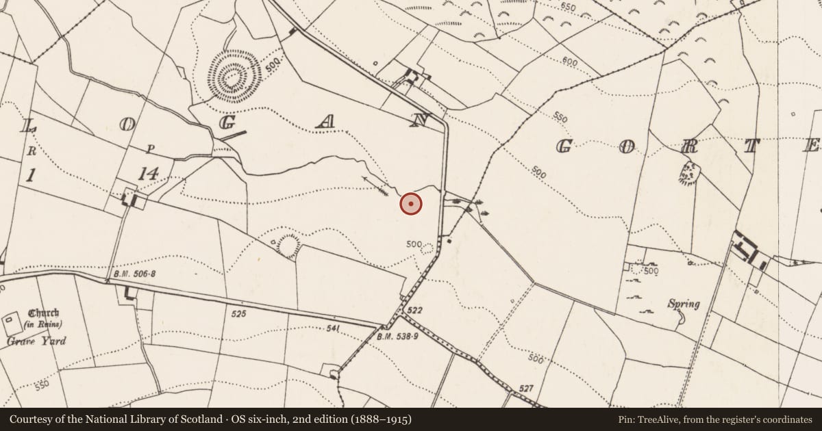
The record
- Townland
- Rathlogan
- County
- Kilkenny
- Country
- Ireland
- First-edition OS map
- Not indicated
- Latest-edition OS map
- Not indicated
- Coordinates
- 52.77451, -7.50068
- SMR number
- KK008-132----
Slide toward Today to fade the historical sheet and see the modern map underneath.
David Rumsey Map Collection, Stanford LibrariesDavid Rumsey Map Collection, Stanford LibrariesDavid Rumsey Map Collection, Stanford LibrariesDavid Rumsey Map Collection, Stanford Libraries
4 historical maps cover this location, the earliest the 1790 map "Composite: Ireland." (David Rumsey Map Collection, Stanford Libraries).
Historical maps covering this location
- 1790 · Composite: Ireland. (David Rumsey Map Collection, Stanford Libraries)
- 1868 · 4. Ireland. (David Rumsey Map Collection, Stanford Libraries)
- 1869 · Ireland. (David Rumsey Map Collection, Stanford Libraries)
- 1891 · Ireland 16 (David Rumsey Map Collection, Stanford Libraries)
This record in the National Monuments Service's Historic Environment Viewer ↗
The National Monuments Service's description
On the valley bottom, a few meters S of stream. The OS Letters (1839) refer to this well as, 'Tobar na Súl', that is the 'Well of the Eyes, at the distance of a quarter of a mile east of the Church [of Rathlogan KK008-082001-]. This well, as may be inferred from the name, was in great repute formerly for the cure of sore eyes, but now it is little frequented' (O'Flanagan ed. 1930, vol. 1, 156 (51)). When visited in 1987 this well was still renowned for curing eye ailments and there were rags tied to the adjacent bushes and small crosses and flowers arranged around the well. Another holy well (KK008-133----) lies across the townland boundary c. 150m to the WSW.
Compiled by: Jean Farrelly
Date of upload: 23 January 2018
References
Carrigan, Rev. W. 1905 (Reprint 1981) The history and antiquities of the diocese of Ossory, 4 vols. Kilkenny. Roberts Books and Wellbrook Press.
O'Flanagan, Rev. M. (Compiler) 1930 Letters containing information relative to the antiquities of the county of Kilkenny collected during the progress of the Ordnance Survey in 1839. Bray.
Nearby in the register
- Fulacht fiaunder 1 mi
- Fulacht fiaunder 1 mi
- Fulacht fiaunder 1 mi
- Water mill - unclassifiedunder 1 mi
Other entries of the same register within about three miles of this one, by straight line.