Sites and Monuments Record · Ireland
Ringfort - rath
Tinnalintan, County Kilkenny, Ireland
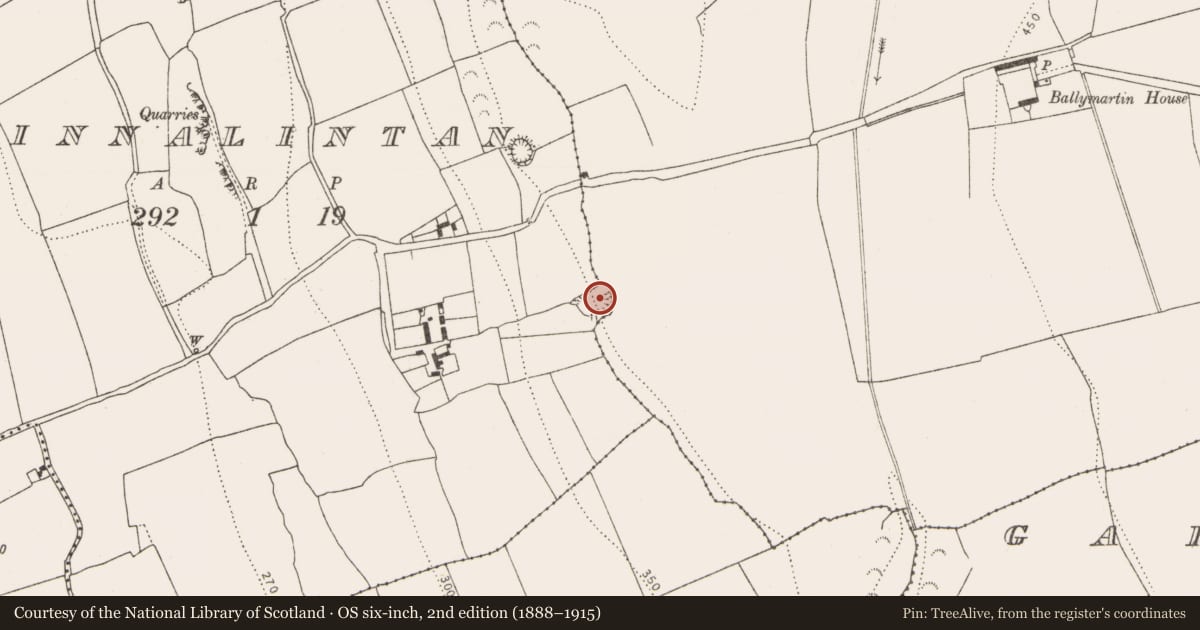
The record
- Townland
- Tinnalintan
- County
- Kilkenny
- Country
- Ireland
- First-edition OS map
- Hachured
- Latest-edition OS map
- Hachured
- Coordinates
- 52.80913, -7.32430
- SMR number
- KK005-015----
Slide toward Today to fade the historical sheet and see the modern map underneath.
David Rumsey Map Collection, Stanford LibrariesDavid Rumsey Map Collection, Stanford LibrariesDavid Rumsey Map Collection, Stanford LibrariesDavid Rumsey Map Collection, Stanford Libraries
4 historical maps cover this location, the earliest the 1790 map "Composite: Ireland." (David Rumsey Map Collection, Stanford Libraries).
Historical maps covering this location
- 1790 · Composite: Ireland. (David Rumsey Map Collection, Stanford Libraries)
- 1811 · Ireland. (David Rumsey Map Collection, Stanford Libraries)
- 1869 · Ireland. (David Rumsey Map Collection, Stanford Libraries)
- 1891 · Ireland 16 (David Rumsey Map Collection, Stanford Libraries)
This record in the National Monuments Service's Historic Environment Viewer ↗
The National Monuments Service's description
On the brow of a gentle W-facing slope with a good view SW-W-NW, otherwise limited by rising ground. A sub-circular area (int. diam. 31m N-S) enclosed by an earth and stone bank (int. H 1.7m; ext. H 1.8m; overall Wth 6m; NW quadrant int. H 0.7m; ext. H 0.4m; Wth 3m), fosse (Wth 3m) and outer bank (int. H 1.45m), the latter is only apparent where the fosse survives. The inner bank survives from NW-E-SSW and is best-preserved from E-S-SSW. In the NW quadrant the bank is quite denuded and from SSW-W the bank has been broken through where a modern drainage channel running E-W cuts into the monument. The fosse survives from NNE-S-SSW and has been infilled elsewhere. At N a later field bank occupies the line of the fosse, skirting the external face of the inner bank. The interior, which slopes from SE-NW, is heavily overgrown with hawthorn, beech and brambles. Outside the bank, at the NW sector, there is a spring well from which a stream flows downslope due W.
Compiled by: Jean Farrelly
Date of upload: 26 April 2017
Nearby in the register
- Ringfort - rathunder 1 mi
- Enclosureunder 1 mi
- Graveyardunder 1 mi
- Churchunder 1 mi
Other entries of the same register within about three miles of this one, by straight line.