Sites and Monuments Record · Ireland
Rock art
Caherdaniel, County Kerry, Ireland
The record
- Townland
- Caherdaniel
- County
- Kerry
- Country
- Ireland
- Coordinates
- 51.77174, -10.10719
- SMR number
- KE106-147----
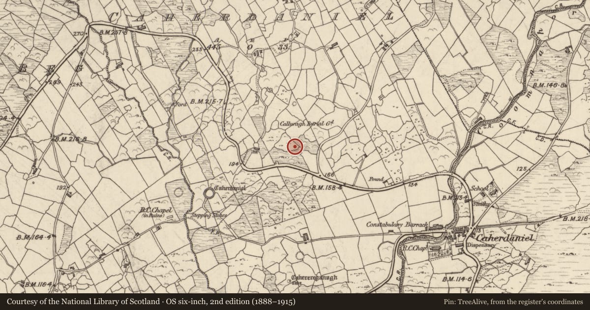
Slide toward Today to fade the historical sheet and see the modern map underneath.
David Rumsey Map Collection, Stanford LibrariesDavid Rumsey Map Collection, Stanford LibrariesDavid Rumsey Map Collection, Stanford LibrariesDavid Rumsey Map Collection, Stanford Libraries
4 historical maps cover this location, the earliest the 1790 map "Composite: Ireland." (David Rumsey Map Collection, Stanford Libraries).
Historical maps covering this location
- 1790 · Composite: Ireland. (David Rumsey Map Collection, Stanford Libraries)
- 1841 · Ireland. (David Rumsey Map Collection, Stanford Libraries)
- 1869 · Ireland. (David Rumsey Map Collection, Stanford Libraries)
- 1891 · Ireland 16 (David Rumsey Map Collection, Stanford Libraries)
This record in the National Monuments Service's Historic Environment Viewer ↗
The National Monuments Service's description
In improved pasture (69m OD), with occasional earthfast boulders, on a S-facing slope. Excellent views all around, especially Darrynane Bay to SW. A smooth and fractured sandstone (dims. 1.35m N-S; 1.90m E-W; max. H 1.02m at E) having a rectangular decorated surface (dims. 0.90m N-S; 1.10m E-W) with a SW-facing aspect and bearing weathered decorative elements covered in lichen. The motifs consist of a cup-and-ring motif (overall diam. 14cm; ring Wth 2-2.5cm; D 4mm; cup diam. 6cm; D 16mm) located centrally. A second cup-and-ring motif (overall diam. 12cm; ring Wth 2cm; D 4mm; cup diam. 6cm; D 12mm) is to NW side of decorated surface. Two cup-and-partial ring motifs are located along the northern margin. Five cupmarks (range diam. 3-4.5cm; D 3-7mm) are off-centre to E and W with an isolated example in the SE corner. One of these cupmarks (diam. 4cm; D 1cm) has a radial groove (L 14cm; Wth 2-3cm; D 4mm) at W. A linear groove (Wth 2-3.5cm; L 0.62m) bisects the stone (long-axis E-W); There is a gap (L 10cm) in this groove before it continues (L 0.30m) at W end. This monument was initially identified as rock art by A. Lambe (2016).
Compiled by: Alison McQueen and Vera Rahilly
Date of upload: 7 July 2017
Nearby in the register
- Ringfort - cashelunder 1 mi
- Children's burial groundunder 1 mi
- Enclosureunder 1 mi
- Rock artunder 1 mi
Other entries of the same register within about three miles of this one, by straight line.