Sites and Monuments Record · Ireland
Rock art
Doire Fhionáin Beag, County Kerry, Ireland
The record
- Townland
- Doire Fhionáin Beag
- County
- Kerry
- Country
- Ireland
- First-edition OS map
- Not Indicated
- Latest-edition OS map
- Not Indicated
- Coordinates
- 51.76762, -10.11152
- SMR number
- KE106-143----
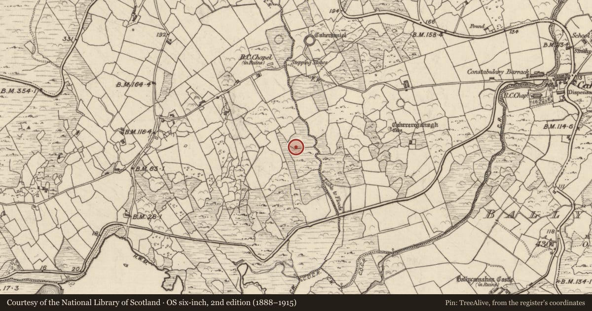
Slide toward Today to fade the historical sheet and see the modern map underneath.
David Rumsey Map Collection, Stanford LibrariesDavid Rumsey Map Collection, Stanford LibrariesDavid Rumsey Map Collection, Stanford LibrariesDavid Rumsey Map Collection, Stanford Libraries
4 historical maps cover this location, the earliest the 1790 map "Composite: Ireland." (David Rumsey Map Collection, Stanford Libraries).
Historical maps covering this location
- 1790 · Composite: Ireland. (David Rumsey Map Collection, Stanford Libraries)
- 1841 · Ireland. (David Rumsey Map Collection, Stanford Libraries)
- 1869 · Ireland. (David Rumsey Map Collection, Stanford Libraries)
- 1891 · Ireland 16 (David Rumsey Map Collection, Stanford Libraries)
This record in the National Monuments Service's Historic Environment Viewer ↗
The National Monuments Service's description
This monument was initially identified as rock art by Aoibheann Lambe in 2014. Incorporated into a drystone field boundary, in improved pasture (23m OD), on a level area of ground of an otherwise gentle ENE-facing slope. A smooth and fractured sandstone boulder (dims. 2.10m NW-SE; 1.90m NE-SW; max. H 0.70m at SE) having a subrectangular decorated surface (dims. 1.30m NW-SE; 0.70m NE-SW) which is weathered and eroded, bearing a number of faint motifs. A cup-and-ring motif (overall dims. 12cm N-S; 9cm E-W; ring Wth 1.5-2cm; D 2mm; cup diam. 6cm; D 14mm) at E, has a faint yet traceable ring SE->W->N; This is a very deep cupmark that appears further eroded by the elements and its interior is rough but made smooth by the presence of lichens. Three potential cupmarks (diam. 6-7cm; D 10-17mm) form a linear arrangement along SW side of stone. These are extremely weathered and very deeply eroded. This monument was initially identified as rock art by A. Lambe (2014).
Compiled by: Alison McQueen and Vera Rahilly
Date of upload: 7 July 2017
Nearby in the register
- Rock artunder 1 mi
- Ringfort - cashelunder 1 mi
- Souterrainunder 1 mi
- Road - road/trackwayunder 1 mi
Other entries of the same register within about three miles of this one, by straight line.