Sites and Monuments Record · Ireland
Souterrain
Gearha North, County Kerry, Ireland
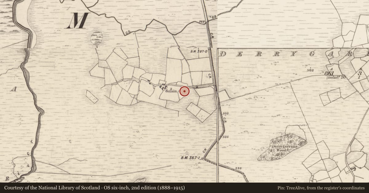
The record
- Townland
- Gearha North
- County
- Kerry
- Country
- Ireland
- Latest-edition OS map
- Not indicated
- Coordinates
- 51.90805, -9.76438
- SMR number
- KE091-097001-
Slide toward Today to fade the historical sheet and see the modern map underneath.
David Rumsey Map Collection, Stanford LibrariesDavid Rumsey Map Collection, Stanford LibrariesDavid Rumsey Map Collection, Stanford LibrariesDavid Rumsey Map Collection, Stanford Libraries
4 historical maps cover this location, the earliest the 1790 map "Composite: Ireland." (David Rumsey Map Collection, Stanford Libraries).
Historical maps covering this location
- 1790 · Composite: Ireland. (David Rumsey Map Collection, Stanford Libraries)
- 1841 · Ireland. (David Rumsey Map Collection, Stanford Libraries)
- 1869 · Ireland. (David Rumsey Map Collection, Stanford Libraries)
- 1891 · Ireland 16 (David Rumsey Map Collection, Stanford Libraries)
This record in the National Monuments Service's Historic Environment Viewer ↗
The National Monuments Service's description
Hut and associated souterrain (KE091-097001-) located on a terrace on the lower SW slopes of Knocklomena, a short distance E of the Kealduff river. The square hut KE091-097----, measuring 4.5m internally, is defined by a low bank of earth and stone which measures .5m high and 1m wide. It is open on its SE side, where a field-wall skirts the site.
An opening to the souterrain KE091-097001- occurs on the exterior of the hut at SW close to a large boulder which partly overlies the first chamber. Earth-cut, this is subcircular in plan and measures 2.35m in diameter and 1.15m high. An area of drystone facing occurs on its NW side, and this may represent a blocking of the point from where the chamber was tunnelled from an adjoining construction shaft. A 1m long passage at NE, drystone constructed, may be the original entrance passage; it is largely filled with collapse. Opposite, at SE, is an earth-cut creepway .65m high x .55m wide, which leads into a second earth-cut chamber aligned WNW-ESE. Several large slabs revet its lower wall-face and the remains of a ventilation shaft are located at N. This chamber is 3.1m long, 1.2m high and has a maximum width of 2m at its ESE end. A creep-way, .6m x .5m, in its S wall, leads into a third earth-cut chamber, 3.1m long, which is aligned NE-SW; it averages 1.4m wide and 1m high. An accumulation of fill prevents access beyond this point.
The above description is derived from A. O'Sullivan and J. Sheehan (compilers), 'The Iveragh peninsula: an archaeological survey of South Kerry'. Cork University Press (1996), no. 1278. In certain instances the entries have been revised and updated in the light of recent research.
Date of upload: 1 August 2013
Nearby in the register
- Hut siteunder 1 mi
- Standing stoneunder 1 mi
- Enclosureunder 1 mi
- Standing stoneunder 1 mi
Other entries of the same register within about three miles of this one, by straight line.