Sites and Monuments Record · Ireland
Fulacht fia
Ceapaigh Na Gcrann, County Kerry, Ireland
The record
- Townland
- Ceapaigh Na Gcrann
- County
- Kerry
- Country
- Ireland
- Latest-edition OS map
- Not indicated
- Coordinates
- 51.88182, -10.03196
- SMR number
- KE090-039001-
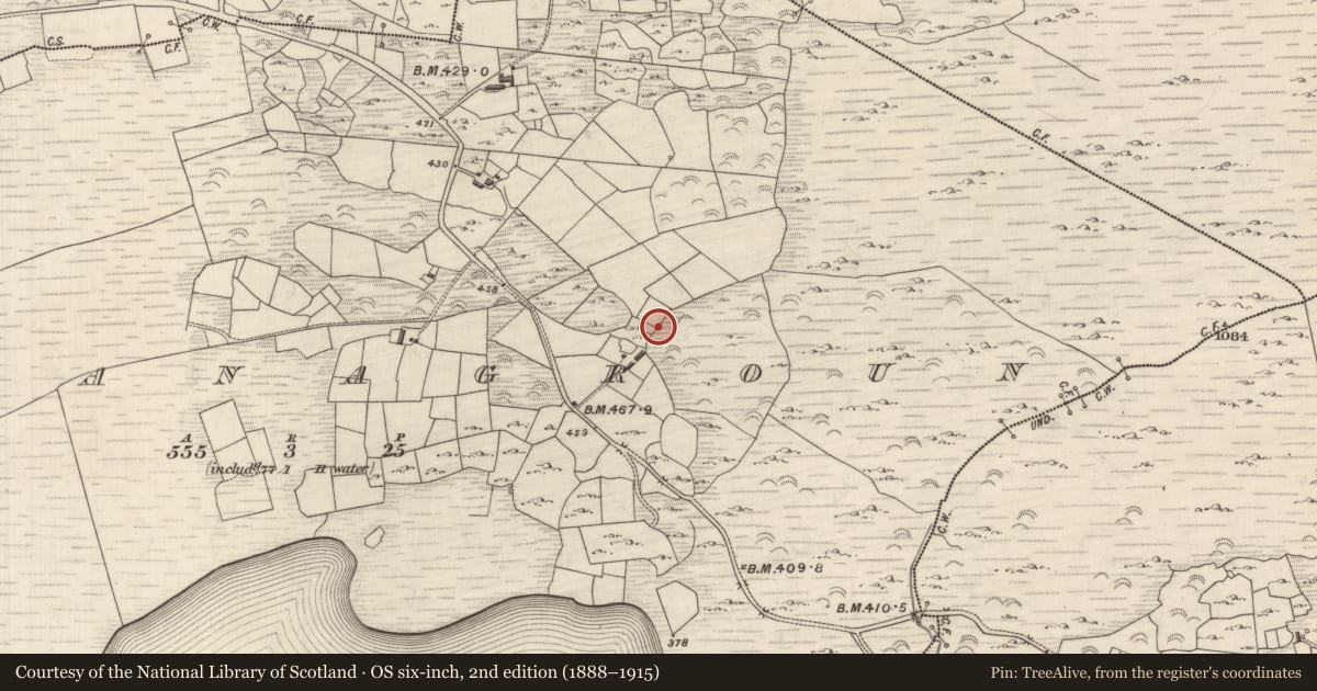
Slide toward Today to fade the historical sheet and see the modern map underneath.
David Rumsey Map Collection, Stanford LibrariesDavid Rumsey Map Collection, Stanford LibrariesDavid Rumsey Map Collection, Stanford LibrariesDavid Rumsey Map Collection, Stanford Libraries
4 historical maps cover this location, the earliest the 1790 map "Composite: Ireland." (David Rumsey Map Collection, Stanford Libraries).
Historical maps covering this location
- 1790 · Composite: Ireland. (David Rumsey Map Collection, Stanford Libraries)
- 1841 · Ireland. (David Rumsey Map Collection, Stanford Libraries)
- 1869 · Ireland. (David Rumsey Map Collection, Stanford Libraries)
- 1891 · Ireland 16 (David Rumsey Map Collection, Stanford Libraries)
This record in the National Monuments Service's Historic Environment Viewer ↗
The National Monuments Service's description
Located on the lower W slopes of an E-W ridge that divides Derriana and Cloonaghlin loughs, on the S side of a small stream, are two adjoining fulachta fiadh and a third which lies 12m further to E. The fulacht fiadh at W is a horseshoe-shaped mound, 1.1m high, which faces the stream at NNE. It measures 9.7m in overall diameter and its U-shaped central depression measures 4.1m NNE-SSW x 4.5m WNW-ESE. Some large upright slabs protrude from the base of its S side. The composition of the mound is clearly visible and is of earth intermixed with quantities of fire-shattered stone and charcoal flecks and nodules. Adjacent at E, and similarly composed, is a second, larger, fulacht fiadh, 13m in diameter and more irregular in outline. A small flat-topped rise partly obstructs the open N end of the mound. Two ill-defined gaps, apparently of recent origin, occur at SW and SE. A third mound of horseshoe-shape occurs to E, measuring 8.9m NE-SW x 10.5m NW-SE. It is open at NW, where is depression measures 4.4m x 3.4m. The three sites occur within a complex of old field walls.
The above description is derived from A. O'Sullivan and J. Sheehan (compilers), 'The Iveragh peninsula: an archaeological survey of South Kerry'. Cork University Press (1996), no. 411. In certain instances the entries have been revised and updated in the light of recent research.
Date of upload: 28 July 2013
Nearby in the register
- Fulacht fiaunder 1 mi
- Fulacht fiaunder 1 mi
- Standing stoneunder 1 mi
- Enclosureunder 1 mi
Other entries of the same register within about three miles of this one, by straight line.