Sites and Monuments Record · Ireland
Hut site
Church Island (Iveragh By., Castlequin ED), County Kerry, Ireland
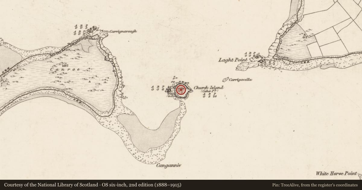
The record
- Townland
- Church Island (Iveragh By., Castlequin ED)
- County
- Kerry
- Country
- Ireland
- Latest-edition OS map
- Not indicated
- Coordinates
- 51.93761, -10.28328
- SMR number
- KE079-032011-
Slide toward Today to fade the historical sheet and see the modern map underneath.
David Rumsey Map Collection, Stanford LibrariesDavid Rumsey Map Collection, Stanford LibrariesDavid Rumsey Map Collection, Stanford LibrariesDavid Rumsey Map Collection, Stanford Libraries
4 historical maps cover this location, the earliest the 1753 map "Mappa geographica Regni Hiberniae" (David Rumsey Map Collection, Stanford Libraries).
Historical maps covering this location
- 1753 · Mappa geographica Regni Hiberniae (David Rumsey Map Collection, Stanford Libraries)
- 1841 · Ireland. (David Rumsey Map Collection, Stanford Libraries)
- 1869 · Ireland. (David Rumsey Map Collection, Stanford Libraries)
- 1891 · Ireland 16 (David Rumsey Map Collection, Stanford Libraries)
This record in the National Monuments Service's Historic Environment Viewer ↗
The National Monuments Service's description
National Monument No. 59. Evidence for the earliest period of occupation on the island comprised a circular wooden hut and a rectangular wooden building. The latter feature was associated with a group of burials and was interpreted as an oratory. Though not demonstrably related stratigraphically, the hut and oratory were probably contemporary. The remains of the hut, located towards the centre of the island, consisted of an arc of low stones set on edge, two post-holes and an occupation layer. The latter included charcoal, shells, animal bones and the remains of a pit furnace. The structure may have had a diameter of up to 6m.
The above description is derived from A. O'Sullivan and J. Sheehan (compilers), 'The Iveragh peninsula: an archaeological survey of South Kerry'. Cork University Press (1996), no. 927. In certain instances the entries have been revised and updated in the light of recent research.
Date of upload: 29 July 2013
Nearby in the register
- House - early medievalunder 1 mi
- Metalworking siteunder 1 mi
- Cross-slabunder 1 mi
- Cisternunder 1 mi
Other entries of the same register within about three miles of this one, by straight line.