Sites and Monuments Record · Ireland
Rock art
Letter West, County Kerry, Ireland
The record
- Townland
- Letter West
- County
- Kerry
- Country
- Ireland
- Coordinates
- 52.01387, -10.01052
- SMR number
- KE071-168----
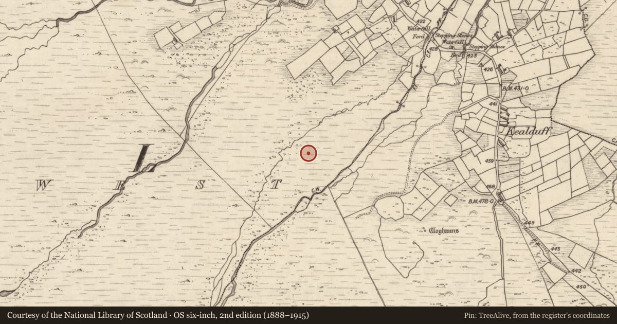
Slide toward Today to fade the historical sheet and see the modern map underneath.
David Rumsey Map Collection, Stanford LibrariesDavid Rumsey Map Collection, Stanford LibrariesDavid Rumsey Map Collection, Stanford LibrariesDavid Rumsey Map Collection, Stanford Libraries
4 historical maps cover this location, the earliest the 1753 map "Mappa geographica Regni Hiberniae" (David Rumsey Map Collection, Stanford Libraries).
Historical maps covering this location
- 1753 · Mappa geographica Regni Hiberniae (David Rumsey Map Collection, Stanford Libraries)
- 1790 · Composite: Ireland. (David Rumsey Map Collection, Stanford Libraries)
- 1869 · Ireland. (David Rumsey Map Collection, Stanford Libraries)
- 1891 · Ireland 16 (David Rumsey Map Collection, Stanford Libraries)
This record in the National Monuments Service's Historic Environment Viewer ↗
The National Monuments Service's description
In mountain heath and cutaway bog (165m OD), on a gentle NE-facing slope, c. 3.5m to SE of a pre-bog field wall and c. 5.5m to W of rock art (KE071-169----). Good views of Behy river valley to NE with Seefin and Droum Mountains in background. A slightly rough and unfractured, sandstone rock outcrop (dims. 1.7m N-S; 1.5m E-W; H 0.35m at E) which is trapezoidal in plan. It has a subrectangular-shaped decorated surface (dims. 1.45m NNE-SSW; 0.4m ESE-WNW) with a WNW-facing aspect. The decorative elements are deeply picked and well-preserved and consist of a partial cup-and-five-ring motif (total dims. 0.4m N-S; 0.32m E-W) having a cupmark (diam. 6cm; D 8mm) and rings (Wth 1cm; D 3-4mm) at SW end of decorated surface. The rings are only visible WNW->N->ESE and are not traceable across the southern half; motif is also interrupted by a natural rise in rock surface at WNW; Three distinct pickmarks adjacent to SW appear to follow the projected fifth ring. A cup-and-two-ring motif (dims. 20cm N-S; 17cm E-W) having a cupmark (diam. 4.5cm; D 6mm) and rings (Wth 1cm; D 2-4mm) is adjacent to NE; connected to a cupmark (diam. 4cm; D 5mm) by a short radial groove. A cup-and-three-ring motif (total diam. 29cm) having a cupmark (diam. 6.5cm; D 9mm) and ring (Wth 1-2cm; D 3-4mm) is off-centre to NE of the decorated surface; Two cupmarks (max. diam. 3cm; D 3-4mm) are adjacent to W and NW. Three cup-and-one-ring motifs (max. dims. 14cm N-S; 16cm E-W) having a cupmark (diam. 7.5cm; D 4mm) and ring (Wth 1-2cm; D 2mm) are generally located along the western area of the decorated surface; radial grooves extend from three of these. Nine square depressions (L 5mm x 6mm; D 4mm) deliberately applied to surface and similar to features recorded upon two other rock art sites (KE071-155---- and KE071-161----).
Compiled by: Alison McQueen and Vera Rahilly
Date of upload: 26 January 2018
Nearby in the register
Other entries of the same register within about three miles of this one, by straight line.