Sites and Monuments Record · Ireland
Ogham stone (present location)
Baile An Ghóilín, County Kerry, Ireland
The record
- Townland
- Baile An Ghóilín
- County
- Kerry
- Country
- Ireland
- Latest-edition OS map
- Not indicated
- Coordinates
- 52.12666, -10.30622
- SMR number
- KE053-012009-
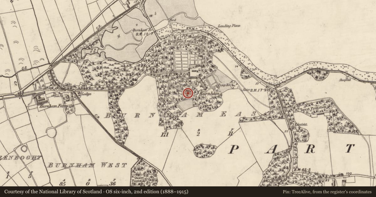
Slide toward Today to fade the historical sheet and see the modern map underneath.
David Rumsey Map Collection, Stanford LibrariesDavid Rumsey Map Collection, Stanford LibrariesDavid Rumsey Map Collection, Stanford LibrariesDavid Rumsey Map Collection, Stanford Libraries
4 historical maps cover this location, the earliest the 1753 map "Mappa geographica Regni Hiberniae" (David Rumsey Map Collection, Stanford Libraries).
Historical maps covering this location
- 1753 · Mappa geographica Regni Hiberniae (David Rumsey Map Collection, Stanford Libraries)
- 1841 · Ireland. (David Rumsey Map Collection, Stanford Libraries)
- 1869 · Ireland. (David Rumsey Map Collection, Stanford Libraries)
- 1891 · Ireland 16 (David Rumsey Map Collection, Stanford Libraries)
This record in the National Monuments Service's Historic Environment Viewer ↗
The National Monuments Service's description
When first discovered in 1790, this ogham stone stood upright in the middle of Ballineesteenig village (Pelham 1804, 185) – see KE043-248----. It was later broken in two, and the pieces served various purposes around the farm prior to their removal to Burnham House (Coláiste Íde), where they remain today. It is a long rounded boulder, 1.98m long and 1m in circumference. The inscription reads: MOINENA MAQI OLACON (Macalister 1949, 142-4, No. 147). The fracture across the middle of the stone removed two of the E scores but otherwise the inscription is clearly legible. A small Latin cross is inscribed on the opposite side of the stone. (Cuppage 1986, no. 791)
Compiled by: Nora White
Date of upload: 12 January 2017
References
Cuppage, J. 1986 Corca Dhuibhne. Dingle Peninsula archaeological survey. Ballyferriter. Oidhreacht Chorca Dhuibhne.
Macalister, R.A.S. 1945 Corpus inscriptionum insularum celticarum. Dublin. Stationery Office.
McManus, D. 1991 A guide to ogam. Maynooth: Monographs 4. Maynooth. An Sagart.
Nearby in the register
- Cross-inscribed stoneunder 1 mi
- Ogham stone (present location)under 1 mi
- Ogham stone (present location)under 1 mi
- Ogham stone (present location)under 1 mi
Other entries of the same register within about three miles of this one, by straight line.