Sites and Monuments Record · Ireland
Enclosure
Knocknamucklagh, County Kerry, Ireland
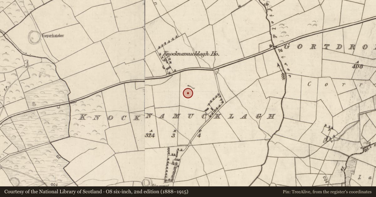
The record
- Townland
- Knocknamucklagh
- County
- Kerry
- Country
- Ireland
- Latest-edition OS map
- Not indicated
- Coordinates
- 52.15143, -9.61696
- SMR number
- KE048-206----
Slide toward Today to fade the historical sheet and see the modern map underneath.
David Rumsey Map Collection, Stanford LibrariesDavid Rumsey Map Collection, Stanford LibrariesDavid Rumsey Map Collection, Stanford LibrariesDavid Rumsey Map Collection, Stanford Libraries
4 historical maps cover this location, the earliest the 1790 map "Composite: Ireland." (David Rumsey Map Collection, Stanford Libraries).
Historical maps covering this location
- 1790 · Composite: Ireland. (David Rumsey Map Collection, Stanford Libraries)
- 1841 · Ireland. (David Rumsey Map Collection, Stanford Libraries)
- 1869 · Ireland. (David Rumsey Map Collection, Stanford Libraries)
- 1891 · Ireland 16 (David Rumsey Map Collection, Stanford Libraries)
This record in the National Monuments Service's Historic Environment Viewer ↗
The National Monuments Service's description
In improved pasture, on an E-facing slope. Circular area (diam. 22m) defined by the remains of a low profile earthen bank (Wth 8m; int. H 0.25m; ext. H 0.3m); best preserved NW->E->SW. Bank is levelled downslope ENE->E->ESE where the exterior is stepped like a counter scarp. Interior is dish-shaped and featureless. Monument is incorporated into field as pasture.
Compiled by: Alison McQueen and Vera Rahilly
Date of upload: 8 September 2014
Nearby in the register
- Country houseunder 1 mi
- Ringfort - rathunder 1 mi
- Ringfort - rathunder 1 mi
- Souterrainunder 1 mi
Other entries of the same register within about three miles of this one, by straight line.