Sites and Monuments Record · Ireland
Ogham stone (present location)
Tralee, County Kerry, Ireland
The record
- Townland
- Tralee
- County
- Kerry
- Country
- Ireland
- Coordinates
- 52.26679, -9.70595
- SMR number
- KE029-321----
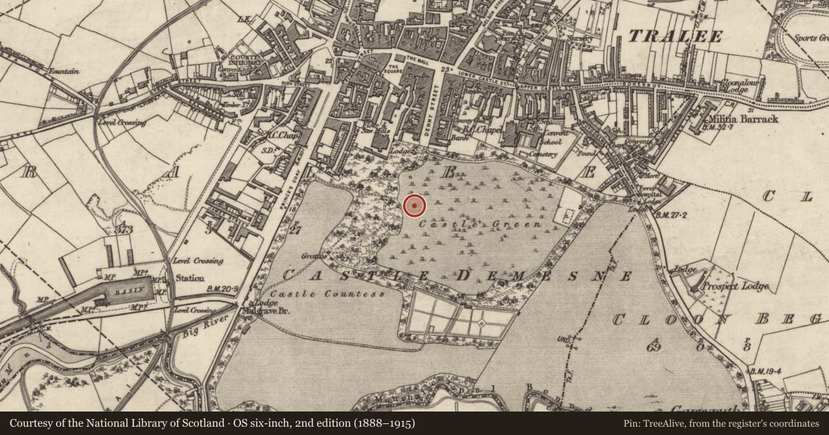
Slide toward Today to fade the historical sheet and see the modern map underneath.
David Rumsey Map Collection, Stanford LibrariesDavid Rumsey Map Collection, Stanford LibrariesDavid Rumsey Map Collection, Stanford LibrariesDavid Rumsey Map Collection, Stanford Libraries
4 historical maps cover this location, the earliest the 1753 map "Mappa geographica Regni Hiberniae" (David Rumsey Map Collection, Stanford Libraries).
Historical maps covering this location
- 1753 · Mappa geographica Regni Hiberniae (David Rumsey Map Collection, Stanford Libraries)
- 1790 · Composite: Ireland. (David Rumsey Map Collection, Stanford Libraries)
- 1869 · Ireland. (David Rumsey Map Collection, Stanford Libraries)
- 1891 · Ireland 16 (David Rumsey Map Collection, Stanford Libraries)
This record in the National Monuments Service's Historic Environment Viewer ↗
The National Monuments Service's description
This fragment of an ogham-inscribed sandstone pillar in Kerry County Museum (KCM L1992:29; CPM L286) originally came from the townland of Letter where it was found incorporated in a stile a short distance S of MacCrehin's Castle (KE079-068001-; Macalister 1939a, 17; see KE079-086---- for its original location). The stone measures 0.66m long, 0.28m wide and 0.07m thick and the well-preserved ogham scores are deeply cut. The remaining letters read: . . . ]QNETN[ . . . Two vowel notches follow the last consonant but the edge of the stone is spalled off after this point. (Macalister 1945, no. 238; O’Sullivan and Sheehan 1996, no. 919)
Compiled by: Paul Walsh
Date of upload: 9 February 2015
References
Macalister, R.A.S. 1945 Corpus inscriptionum insularum celticarum. Dublin. Stationery Office.
O'Sullivan, A. and Sheehan, J. 1996 The Iveragh peninsula: an archaeological survey of South Kerry. Cork University press.
Macalister, R.A.S. 1939 Recent epigraphic discoveries in Co. Kerry. Proceedings of the Royal Irish Academy, 45C, 13-20.
Nearby in the register
- Cross-inscribed stone (present location)under 1 mi
- Ogham stone (present location)under 1 mi
- Ogham stone (present location)under 1 mi
- Ogham stone (present location)under 1 mi
Other entries of the same register within about three miles of this one, by straight line.