Sites and Monuments Record · Ireland
Graveslab
Ballymore Eustace East (Ballymore Eustace ED), County Kildare, Ireland
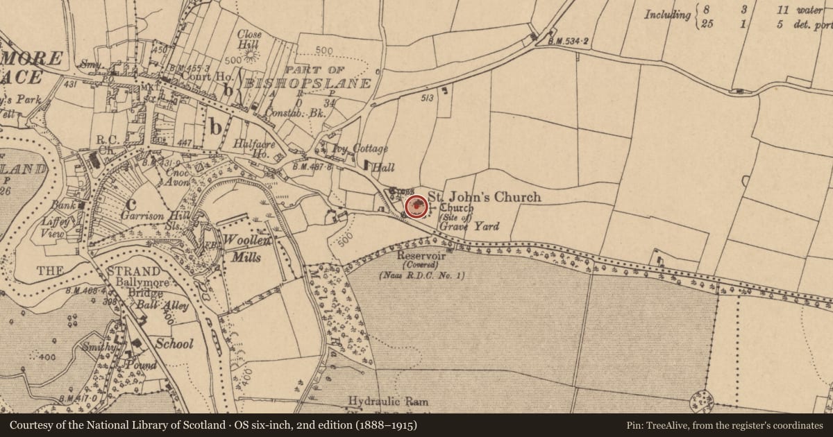
The record
- Townland
- Ballymore Eustace East (Ballymore Eustace ED)
- County
- Kildare
- Country
- Ireland
- First-edition OS map
- Not indicated
- Latest-edition OS map
- Not indicated
- Coordinates
- 53.13142, -6.60653
- SMR number
- KD029-011014-
Slide toward Today to fade the historical sheet and see the modern map underneath.
David Rumsey Map Collection, Stanford LibrariesDavid Rumsey Map Collection, Stanford LibrariesDavid Rumsey Map Collection, Stanford LibrariesDavid Rumsey Map Collection, Stanford Libraries
4 historical maps cover this location, the earliest the 1790 map "Composite: Ireland." (David Rumsey Map Collection, Stanford Libraries).
Historical maps covering this location
- 1790 · Composite: Ireland. (David Rumsey Map Collection, Stanford Libraries)
- 1799 · Ireland. (David Rumsey Map Collection, Stanford Libraries)
- 1830 · V.3:11-15:XV. Britisches Reich. C. Kon: Ireland. a. Prov: Leinster. Counties: 1-12 (David Rumsey Map Collection, Stanford Libraries)
- 1891 · Ireland 16 (David Rumsey Map Collection, Stanford Libraries)
This record in the National Monuments Service's Historic Environment Viewer ↗
The National Monuments Service's description
In a graveyard (KD029-011004-) immediately S of the W gable of a medieval church ruins (KD029-011002-). An erect, earthfast, tapering granite slab (dims. H 1.03m; Wth 0.5-0.65m; T 0.25m) carries an incised Latin cross on its E face. (Corlett 2003, 87, 88 Slab 2)
Compiled by: Gearóid Conroy
Date of upload: 30 August 2013
References
Corlett, C. 2003, The Hollywood Slabs – some late medieval grave slabs from west Wicklow and neighbouring Counties, Journal of the Royal Society of Antiquaries of Ireland, 133, 86-110.
Nearby in the register
- Fontunder 1 mi
- Tomb - effigial (present location)under 1 mi
- Fontunder 1 mi
- Graveyardunder 1 mi
Other entries of the same register within about three miles of this one, by straight line.